The Met Office has issued a power cut warning for nine counties in the Midlands, including Birmingham. The amber heat warning has been widened, taking effect from 1am on Monday, June 22, and lasting until 11.59pm on Tuesday, June 23.
Expanded Warning
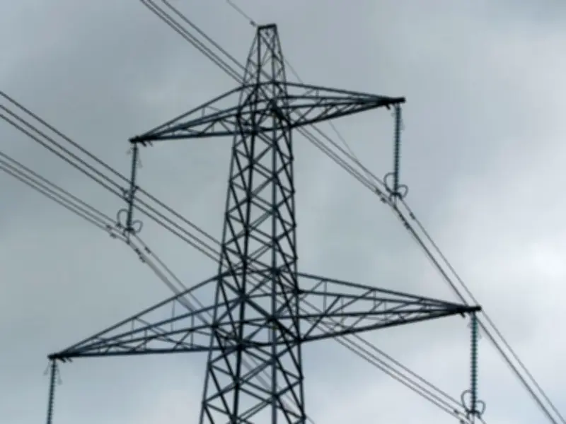
Issuing an update on Saturday, June 20, forecasters stated: "Area expanded across east Wales and much of the Midlands. Some updates to the 'further details' too." The warning highlights an increased chance that heat-sensitive systems may fail, leading to power cuts and loss of other services for homes and businesses.
Affected Counties
- Derbyshire
- Leicestershire
- Nottinghamshire
- Herefordshire
- Shropshire
- Staffordshire
- Warwickshire
- West Midlands Conurbation
- Worcestershire
Short-Term Forecast
The Met Office forecast for Saturday advises: "Early cloud and rain easing to leave sunny spells. Some showers remain, mostly in the north and west. A little cooler than Friday but temperatures still above average in south and southeast England. Turning breezy in the far north." It adds: "Showers fading leaving a dry night though thunderstorms may clip the southeast. Feeling fresher for some, but a warm and humid night to come in the south."

Outlook for Monday to Wednesday
An extreme heat warning is in place next week in parts of the south and southeast. The heat will become widespread, turning humid, which brings the risk of thunderstorms.
Expert Comment
Met Office Deputy Chief Forecaster Greg Wolverson said: "While heatwave criteria will be met for some in the south and southeast of England over the weekend, with temperatures into the low 30s Celsius possible, the warmth will expand and intensify at the start of next week, which, coupled with high temperatures overnight, leads to potential impacts. Temperatures will peak around the mid-30s Celsius on Monday and Tuesday. The humidity will also mean this feels close, warmer and more uncomfortable for many. Tropical nights – where the temperature doesn’t drop below 20°C are also likely for some."