The West Midlands is set to be hit by thunderstorms after basking in a record-breaking heatwave, according to the Met Office. Temperatures soared above 30°C for several days, with Birmingham reaching 32.2°C on Monday, the hottest day of the year so far.
Weather Warning Issued
The Met Office has issued a yellow warning for thunderstorms covering the West Midlands from Wednesday afternoon through to Thursday morning. The warning indicates that heavy rain, frequent lightning, and gusty winds are likely, potentially causing flooding and travel disruption.
Record-Breaking Heat
The heatwave saw temperatures exceed 30°C across much of the region, with the highest recorded in Birmingham. This broke the previous record for the year, set just a week earlier. The hot weather was caused by a plume of warm air from southern Europe.

Impact of Thunderstorms
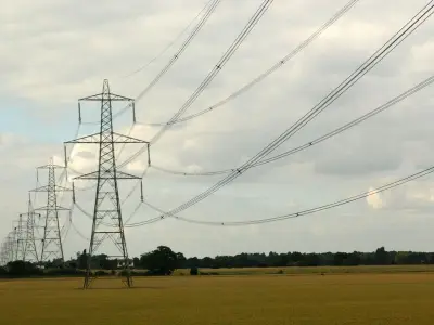
The thunderstorms are expected to bring sudden downpours, with up to 30mm of rain possible in some areas within an hour. There is a risk of surface water flooding, particularly on roads and in low-lying areas. Lightning strikes could also cause power cuts and damage to buildings.
Advice for Residents
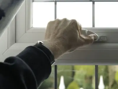
Residents are advised to secure loose items in gardens, avoid driving through flood water, and stay indoors during the worst of the storms. The Met Office recommends checking travel updates before setting out and allowing extra time for journeys.
End of the Heatwave
The storms will mark the end of the heatwave, with temperatures dropping to around 20°C by Thursday. The weekend is expected to be cooler and more settled, with sunny spells and occasional showers.
According to the Met Office, "The thunderstorms will bring a dramatic end to the hot weather, with heavy rain and lightning posing risks to people and property." The change is due to a cold front moving in from the Atlantic.