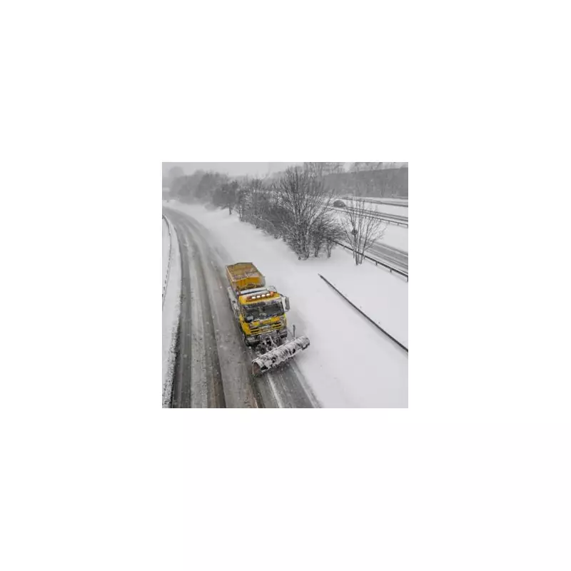
The United Kingdom is bracing for a significant winter onslaught, with weather models predicting a 22-inch snow bomb will strike later this month. Fresh maps and data have pinpointed the exact date for the arrival of this major weather event, which is expected to bring widespread disruption and bitterly cold temperatures.
Snow Maps Reveal Widespread Disruption
According to detailed analysis from WX Charts, using Met Desk data, a powerful band of snow will sweep across England, reaching as far south as the coast. The severe weather is currently forecast to return to the country on Tuesday, January 27, 2026.
The projections show a vast area of white spreading over the nation. By 6pm on that Tuesday, regions including Stirling and Perth and Kinross in Scotland are predicted to see snow depths accumulate to a staggering 56cm. Central parts of Aberdeen could be buried under 30cm of snow, with Aberdeenshire facing depths of around 22cm.
Which Parts of England Will Be Affected?
While Scotland faces the brunt of the snowfall, the entire country of England is deemed to be at risk, with the notable exception of the south-west. By Wednesday, January 28, the snow will continue to impact central Scotland with around 10cm of cover.
In England, the North West and North East could see snow depths hit 5cm. Even southern coastal areas are not expected to escape entirely, with Cornwall likely to receive a light dusting. Somerset and Greater London are also in line for some snowfall.
Accompanying the snow will be a severe temperature drop. Scotland is forecast to shiver in lows of -9°C as the frigid weather front moves in from the Atlantic.
Met Office Short-Term Forecast
The Met Office's own short-term outlook sets the stage for this colder spell. For Tuesday, January 20, they predict occasional rain and drizzle clearing from central and eastern areas, allowing some brighter spells. However, western areas will see bands of locally heavy rain moving in, accompanied by strong winds and developing gales.
Looking ahead to Wednesday, January 21, the forecast remains unsettled with bands of rain continuing to move northwards. Some bright spells may develop between the showers, but it will stay windy with temperatures near or slightly above average for the time of year.
The outlook for Thursday to Saturday indicates that the unsettled conditions will persist. Further rain or showers are expected for much of the UK, with the most persistent rain across Scotland. This precipitation is likely to fall as snow across high ground. It will often be windy, with temperatures remaining around the seasonal average before the predicted sharp drop.
Residents across the UK are advised to stay updated with the latest forecasts from the Met Office and to prepare for potential travel disruption and cold weather conditions from January 27 onwards.


