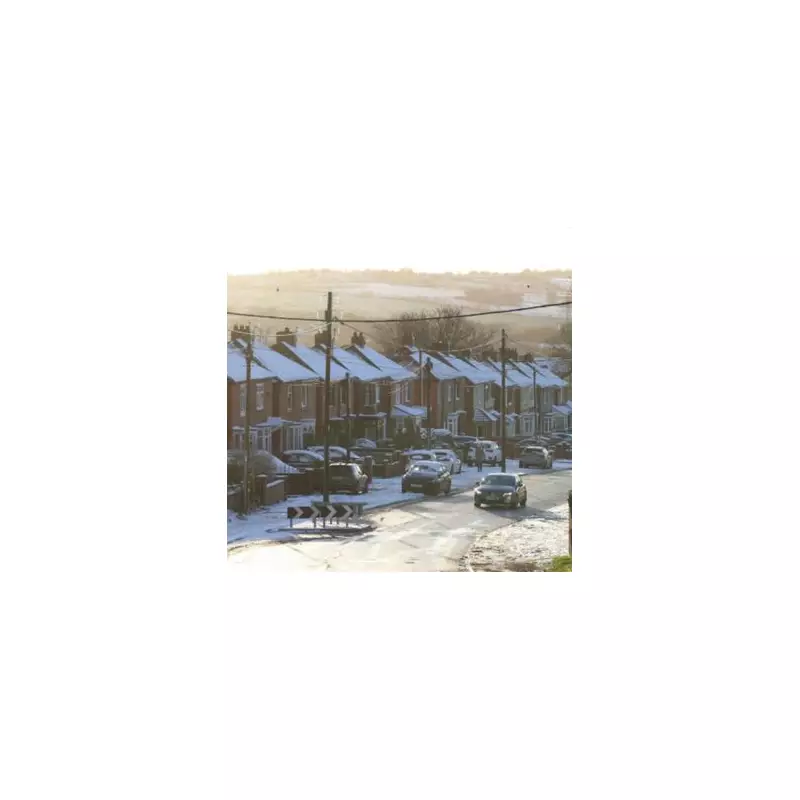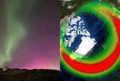
Eight counties across the United Kingdom are preparing for disruptive snow blizzards and significant snowfall from Friday, with wintry conditions expected to reach as far south as Devon. Fresh weather maps and charts from WX Charts, utilising Met Desk data, indicate a sharp shift towards wintery precipitation for many parts of the country over the next 48 hours.
Arctic Blast Brings Widespread Snow Risk
The nation is set for a marked temperature drop as a combined Arctic and Atlantic blast sweeps across the UK. Forecasters warn that heavy rain will initially make landfall along the western coast from around midday on Thursday, December 4th. However, this precipitation is predicted to turn to snow in several regions, including Devon, Gloucestershire, and parts of south Wales.
Scotland is anticipated to bear the brunt of the heaviest snowfall. Current modelling suggests accumulations could reach up to 2 inches (5cm) by 9pm on Friday in areas north of the border.
Counties Under the Weather Warning
The specific counties identified as being at risk of snow blizzards and flurries are:
- Gloucestershire
- Inverness-shire
- Perthshire
- Argyllshire
- Somerset
- Monmouthshire
- Glamorgan
- Devon
Forecaster's Insight: A Deteriorating Outlook
Jo Farrow, a forecaster with Netweather, provided a detailed outlook for the coming days. "Friday will see deteriorating weather from the west and southwest," she predicts. "A new Atlantic low will be heading our way, bringing frontal rain and strengthening winds."
She also highlighted a stark contrast for commuters in eastern Britain: "In eastern Britain, if you are out early you could leave home with frost and fog but return from a day’s work in the wind and rain." Her advice is clear: "Be prepared."
The unsettled conditions are expected to persist into the weekend, with the Atlantic low pressure system sliding over the UK on Saturday, bringing showery downpours. While a brief lull is possible overnight, the next frontal system is already forecast to arrive from the southwest before dawn on Sunday.
Timeline for Snowfall This Week
Regarding the likelihood of snow, Ms Farrow adds: "The only signal for snow this week is on Friday evening as the frontal rainband comes up against the cold air over northern Britain after dark." She also notes the potential for "a tiny bit of snow for the hills of Northern Ireland early on Thursday" and some "wet snow for the Cairngorms on Thursday evening," both associated with incoming heavy rain bands.
Residents in the affected counties are urged to stay updated with the latest travel information and weather warnings as this cold snap develops.


