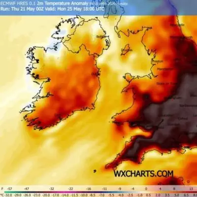
UK Weather: Next Heatwave Date Hinted After Wednesday's 26C Peak
The Met Office has provided insights into when the next UK heatwave might occur following a brief surge in temperatures this week. On Wednesday, April 8, parts of the country are expected to experience highs of up to 26C, marking a notably warm spell for early April. However, this warmth will be short-lived, with conditions turning significantly cooler and more unsettled later in the week.
Forecast Details and Temperature Drop
According to Met Office Chief Forecaster Paul Gundersen, this warm weather is unusual for early April, resembling temperatures more typical of late spring or early summer. He noted that this could be the warmest period at this time of year since 2020. Despite the temporary peak, a sharp decline is anticipated, with daytime temperatures potentially dropping by around 10°C between Wednesday and Thursday in some areas.
Outlook for Mid to Late April
Looking ahead to the period from April 12 to April 27, the Met Office indicates that the possibility of settled weather will increase later in the month. The forecast suggests that the first part of this period will remain rather changeable, with showers or occasional longer spells of rain affecting many regions. The exact pattern—whether successive weather systems from the Atlantic or a more slowly evolving setup—remains unclear.

During drier and brighter interludes, especially when winds are light, it should feel quite warm, even though temperatures are likely to be close to normal for most areas. Later in April, blocked weather patterns become more probable, with high pressure near the UK. This raises the chance of more settled conditions, particularly in the north, though periods of rain or showers may still occur, especially in the south.
Extended Forecast into May
For the timeframe from April 22 to May 6, the Met Office predicts that blocked patterns with high pressure near the UK will likely dominate. This is expected to bring a good deal of dry weather across the country as a whole. However, some unsettled interludes could develop at times, particularly in the south, where rainfall amounts might be above average. Temperatures are projected to be near or slightly above normal, although cold nights remain possible.
In summary, while Wednesday offers a taste of summer-like warmth with 26C highs, the immediate forecast points to cooler and more variable weather. The Met Office hints at potential heatwave conditions emerging later in April, offering hope for more consistent warm spells as the month progresses.