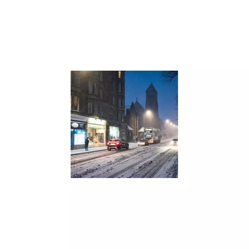
The UK is bracing for a potentially severe and extended period of wintry weather, with the latest forecasts indicating conditions could be worse than initially expected. Meteorologists are now warning that a significant cold snap, reminiscent of the infamous 'Beast from the East' in 2018, could hammer parts of the country around the festive period.
Christmas Freeze and Widespread Snow Risk
Forecast models have deteriorated, suggesting the nation could face freezing conditions in and around Christmas Day. December 25 is currently earmarked for snowfall, raising the prospect of a white Christmas for many. The cold front is expected to bring snow across Europe in the coming days, with Scotland, northern England, and Wales all likely to be affected.
Projections from WX Charts, using data from the Met Desk, show pockets of snow spreading across the Home Nations. This has led to heightened comparisons with the historic freeze of six years ago, which brought widespread travel chaos and sub-zero temperatures to the UK for an extended period.

Met Office Forecast for the Festive Run-Up
The Met Office has issued its outlook for the period from December 20 to December 29. It states that unsettled conditions are likely to continue initially, with further rain or showers and often windy weather affecting many areas.
However, a notable shift is signalled in the run-up to Christmas. The forecast explains: "In the run up to Christmas, there is a signal for less unsettled conditions to begin to take hold, with a greater chance of high pressure developing in the vicinity of the UK compared to the previous few weeks."
While this may reduce the risk of heavy rain and strong winds, it increases other hazards. The Met Office warns of a rising incidence of overnight frost and fog, which could be slow to clear due to the time of year. Temperatures are expected to gradually fall closer to, or below, seasonal averages.
Immediate Weather Outlook and Preparations
In the immediate term, the country is experiencing chillier conditions. Today, fog patches will be slow to clear in some areas, though many will have a dry day with sunshine. Southeast England will see cloudier skies with patchy rain, while northwest Scotland can expect a few showers.
The key developments to monitor are:
- The strengthening signal for high-pressure build-up near the UK just before Christmas.
- The consequent drop in temperatures leading to widespread frost and fog.
- The potential for the weather system to evolve into a more severe, prolonged cold spell similar to past 'Beast from the East' events.
Authorities and travellers are advised to stay updated with the latest forecasts from the Met Office as the situation develops, with the festive period now firmly in the sights of this worsening winter weather scenario.