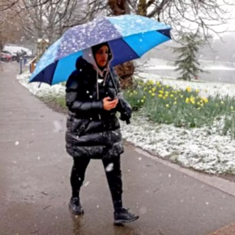
Fresh weather projections have dramatically escalated predictions for an incoming winter storm, with forecasters now anticipating a substantial snow event that could blanket much of the United Kingdom. Updated meteorological data indicates a significant intensification of the system, with snowfall totals revised upwards just days before its anticipated arrival.
Timeline and Impact of the Incoming Snowstorm
According to the latest analysis from WX Charts, which utilises the GFS forecasting system, a potent band of wintry precipitation is set to sweep across the nation starting in the early hours of Sunday, February 15th. The initial flurries are projected to commence from approximately 3am, with the intensity expected to increase steadily throughout the day. By Sunday evening, meteorological models suggest that settled snow could cover nearly 90 percent of the country, marking a widespread and impactful weather event.
Regional Snowfall Predictions and Depth Forecasts
The forecast presents a varied picture of accumulation across different regions. Snow depth charts are now indicating the potential for substantial build-ups, particularly in elevated areas. The most significant totals are predicted for Scotland, where hilly terrain could see accumulations reaching up to 21 centimetres, equivalent to around eight inches.
In northern parts of England, forecasts suggest a potential for up to 14 centimetres, or six inches, of snow. Meanwhile, regions including the Midlands and parts of Wales are bracing for lighter, yet still notable, accumulations of around 5 centimetres, or two inches. The Greater London area, the West Midlands, the North West, and the North East of England are all highlighted on weather maps as zones likely to experience this incoming deluge of wintry precipitation.
Official Weather Service Outlook and Broader Context
The Met Office, in its forecast covering the period from February 14th onwards, provides context for this developing situation. Their outlook notes: "After a briefly quieter spell, associated with some colder conditions, Atlantic frontal zones look to make a return near the start of this period. The track of these depressions may be a little further north than over the preceding weeks, but will continue to bring broadly unsettled weather to many areas, with further spells of rain and perhaps strong winds at times."
The forecast adds that a westerly influence should bring somewhat milder conditions for many, though it cautions that colder spells could still intermittently affect northern and northeastern regions. This complex interplay of air masses is contributing to the uncertainty and potential severity of the weekend's weather.
Immediate Forecast and Preparations
In the immediate lead-up to this major snow event, the BBC Weather team describes a predominantly cloudy and dull day for most areas, punctuated by spells of rain that may turn heavy at times. The south may experience a temporary drier period before showery rain spreads eastward during the afternoon. Overnight, cloud and persistent rain are expected to linger, with precipitation in the north potentially falling as snow on the hills of northern Scotland, preceding the more widespread event.
This updated forecast underscores the importance for residents across the UK to stay informed through official channels and to consider necessary preparations for potential travel disruption and cold weather impacts as this significant winter weather system approaches.


