The Met Office has issued a detailed snow map highlighting a significant wintry threat poised to sweep across the United Kingdom this coming weekend. Forecasters have identified a staggering 70 specific areas that could be impacted by accumulating snowfall, with meteorological models pinpointing Sunday, January 15, as the date of greatest concern.
Widespread Wintry Plume to Impact All Home Nations
This developing weather system is notable for its potential to affect all four Home Nations. A substantial plume of cold air is forecast to bring a sharp wintry shift, with flurries and showers likely to spread across England, Scotland, Wales, and Northern Ireland. The timing follows closely after Valentine's Day celebrations, setting the scene for a potentially disruptive Sunday across the country.
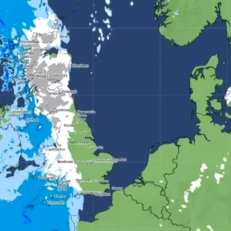
Detailed weather maps illustrate a broad band of wintry precipitation expanding over the UK. This system is expected to deliver flurries that could readily accumulate, leading to notable snow depths in affected regions. The Met Office's early outlook for the coming days provides further context for the unsettled pattern ahead.

Official Forecast and Short-Term Outlook
The national weather service's summary for the initial part of the period states: "Staying largely cloudy with outbreaks of rain for most. Fairly windy and cold in the north, but lighter winds and milder in the south." Looking further ahead from Thursday to Saturday, the forecast adds: "Unsettled at first with further outbreaks of rain. Turning colder from Friday with a chance of snow showers, particularly in the north. Dry, cold and sunny for many on Saturday."
In the immediate short term, the forecast for tonight (Tuesday) indicates: "Staying cloudy with further outbreaks of rain. Mild in the south, but chilly in the north, with snow over Scottish hills." This sets the stage for the colder air to filter southwards as the week progresses.
Full List of Areas Facing Snowfall Risk
The meteorological data suggests the following regions across the UK could experience flurries before the weekend concludes:
England
- Cumbria
- Northumberland
- Durham
- Lancashire
- North Yorkshire
- Merseyside
- Greater Manchester
- West Yorkshire
- Cheshire
- Staffordshire
- Shropshire
- Worcestershire
- Herefordshire
- Gloucestershire
- Bristol
- Oxfordshire
- Wiltshire
- Berkshire
- Hampshire
Wales
- Gwynedd
- Conwy
- Denbighshire
- Flintshire
- Wrexham
- Ceredigion
- Powys
- Carmarthenshire
- Swansea
- Neath Port Talbot
- Bridgend
- Vale of Glamorgan
- Rhondda Cynon Taff
- Cardiff
- Merthyr Tydfil
- Caerphilly
- Newport
- Torfaen
- Blaenau Gwent
- Monmouthshire
Scotland
- Caithness
- Sutherland
- Ross & Cromarty
- Inverness-shire
- Nairnshire
- County of Moray
- Banffshire
- Aberdeenshire
- Kincardineshire
- Angus
- Perthshire
- County of Argyll
- County of Bute
- Ayrshire
- Renfrewshire
- Dunbartonshire
- Stirlingshire
- Clackmannanshire
- Kinross-shire
- County of Fife
- East Lothian
- Midlothian
- West Lothian
- Lanarkshire
- Peeblesshire
- Selkirkshire
- Berwickshire
- Roxburghshire
- Dumfriesshire
- Kirkcudbrightshire
- Wigtownshire
Residents in these areas are advised to stay updated with the latest forecasts from the Met Office as the situation develops, and to consider potential travel disruptions as the weekend approaches.