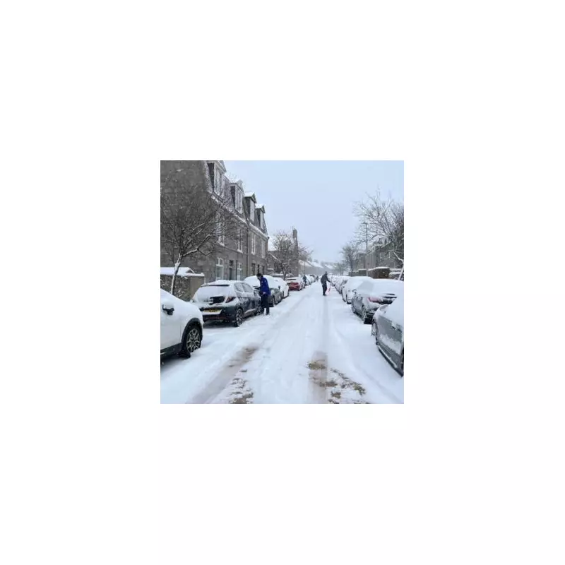
The Met Office has placed a vast sweep of the United Kingdom on alert for disruptive snow showers over the next 48 hours, issuing a complex matrix of amber and yellow weather warnings. A total of 129 specific areas, from the Scottish Highlands to the coasts of Cornwall, are braced for wintry conditions that threaten significant travel disruption from Sunday night through to Tuesday morning.
Widespread Disruption Expected
Heavy snow showers are forecast to become more frequent and may merge into longer spells of snow, particularly during Sunday night and Monday morning. The Met Office has highlighted that this period is when the heaviest and most disruptive snow is most likely within the current cold spell. While existing yellow warnings cover a broad area for a longer duration, the newly issued amber warning pinpoints the zones at greatest risk.
Accumulations of 5-10 cm are expected to be fairly widespread, with some isolated parts of mainland Scotland potentially seeing a staggering 20-30 cm. The situation could be exacerbated by strong winds, which may lead to drifting snow and temporary blizzard conditions, severely reducing visibility and making travel hazardous.
Areas Under Amber and Yellow Warnings
The amber warning for heavy snow on Monday, January 5, is concentrated in northern Scotland and covers:
- Angus
- Aberdeen & Aberdeenshire
- Moray
- Highland
- Orkney & Shetland Islands
Meanwhile, a more extensive yellow warning for snow and ice is in force for a large portion of England, Northern Ireland, and parts of Scotland and Wales for Monday. Key regions include:
- All of Northern Ireland (County Antrim, Armagh, Down, Fermanagh, Londonderry, Tyrone)
- North East England (Northumberland, Tyne & Wear, Durham, Teesside)
- Yorkshire & Humber
- East of England (Lincolnshire, Norfolk, Suffolk)
- West Midlands conurbation
- East Midlands
- South West England (including Bristol, Gloucestershire, Somerset)
Continued Risk into Tuesday
Although the snow showers are predicted to ease on Monday night, the risk of ice will persist into Tuesday morning as temperatures plummet below freezing. Consequently, the Met Office has extended the end time of the yellow warning and expanded its reach into East Lothian and more of the Scottish Borders.
For Tuesday, January 6, the yellow warning for snow and ice shifts focus but remains widespread, affecting:
- South West England (Cornwall, Devon, Plymouth, Torbay)
- Wales (Carmarthenshire, Ceredigion, Conwy, Gwynedd, Anglesey, and others)
- Central and Northern Scotland (including Stirling, Perth and Kinross, Fife, and the Highlands)
- Large parts of Northern and Eastern England, similar to Monday's alert.
The Met Office notes that while not every location will be affected, scattered snow showers will push inland from the North Sea during Monday. Where they are most frequent—particularly across southeast Scotland, parts of North and East Yorkshire, and Redcar and Cleveland—fresh accumulations of 5-8 cm are possible in a few places. Gusty winds and lightning may pose additional hazards near windward coasts.
Residents across the warned areas are advised to prepare for difficult travel conditions, potential delays to public transport, and the possibility of power cuts. The public should stay updated with the latest Met Office forecasts and travel advice from local authorities.


