
The Met Office has issued a significant yellow weather warning for snow and ice across multiple regions of the United Kingdom this week, with a particular focus on the Midlands. This alert highlights the potential for a rare and hazardous weather phenomenon known as 'freezing rain' to occur, bringing with it the risk of widespread disruption.
What is Freezing Rain and Why is it Dangerous?
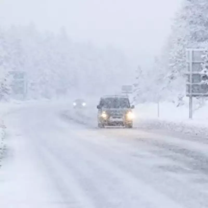
Freezing rain is an unusual meteorological event where rain droplets become 'supercooled' as they descend from the sky. Upon hitting the ground or other surfaces, these droplets freeze instantly, forming a transparent and slippery layer of ice. The Met Office has emphasised that this phenomenon can be 'extremely hazardous' due to the rapid ice accumulation, which poses significant risks to transport, pedestrians, and infrastructure. It is noteworthy that such conditions do not occur frequently in the UK, making this warning particularly noteworthy.
Timing and Scope of the Weather Alert
The yellow weather warning is scheduled to be in effect from 6pm on Tuesday, February 3, until 9am on Wednesday, February 4. During this period, outbreaks of rain, sleet, and snow are expected to move northwards over mid and north Wales, as well as northern England. Snow accumulations are predicted to be in the range of 1-3cm, primarily above elevations of around 200 metres, though minor accumulations may occur at lower levels.

The Met Office has specifically noted: 'There is also a chance of transient freezing rain over higher ground and though the odds of this occurring in any one location is small, but would increase the ice risk nonetheless.' This indicates that while the probability of freezing rain in any single area is low, the potential impact on ice formation remains a serious concern. The sleet and snow are forecast to clear from southern regions by Wednesday morning.
Regions and Local Authorities Under Warning
The weather warning encompasses a broad swathe of the UK, affecting several regions and local authorities. Residents and travellers in the following areas are advised to exercise caution and stay updated with the latest forecasts:
- East Midlands: Derbyshire
- North East England: Durham
- North West England: Cheshire East, Cumbria, Greater Manchester, Lancashire
- Wales: Conwy, Denbighshire, Flintshire, Gwynedd, Powys, Wrexham
- West Midlands: Staffordshire
- Yorkshire & Humber: North Yorkshire, South Yorkshire, West Yorkshire
This extensive list underscores the widespread nature of the alert, with the Midlands featuring prominently among the affected areas. The combination of snow, ice, and the potential for freezing rain could lead to challenging travel conditions, school closures, and increased risks for outdoor activities.
Preparedness and Safety Advice
In light of the warning, it is crucial for individuals in the impacted regions to take necessary precautions. This includes checking travel updates before embarking on journeys, allowing extra time for commutes, and being mindful of icy surfaces when walking. Local authorities and emergency services are likely to be on heightened alert to manage any disruptions caused by the adverse weather.
The rarity of freezing rain in the UK means that many may be unfamiliar with its dangers, highlighting the importance of heeding Met Office advice and staying informed through reliable weather sources. As the situation develops, further updates may be issued to reflect changing conditions.


