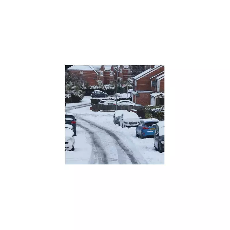
The Midlands is preparing for another major weather event, with forecasts predicting up to seven inches of snowfall from Tuesday next week. This comes as a freezing Arctic blast is set to sweep across the United Kingdom, bringing plummeting temperatures and the potential for widespread disruption.
Significant Snowfall Expected from Tuesday
According to the latest weather maps and Met Office analysis, flurries could begin affecting the Midlands region as early as Tuesday, January 27th. The most intense snowfall is then forecast for Wednesday, with some parts of the Midlands potentially receiving accumulations of up to seven inches. This follows the chaos caused by Storm Goretti earlier in January, which brought significant disruption to transport and daily life across the region.
Arctic Air Mass to Bring Freezing Conditions
The impending weather system is driven by Arctic air moving in from Monday, which will send temperatures tumbling to low single digits. The Met Office forecast for the period from January 25th to February 3rd indicates that weather systems from the Atlantic will attempt to push eastward but are likely to stall near the UK due to high pressure systems to the north and northeast.
This atmospheric setup creates ideal conditions for persistent precipitation that could fall as snow across many parts of the country. While milder conditions may occasionally reach the south and southwest, the overall trend through this period is toward colder weather, increasing the snow risk significantly.
Potential for Widespread Travel Disruption
The prospect of heavy snowfall raises serious concerns about travel disruption across the West Midlands and surrounding areas. Road networks, public transport services, and airport operations could all face significant challenges if the forecasted snow materialises as predicted. Authorities are likely to issue weather warnings and travel advisories as the situation develops over the coming days.
Residents across the Midlands are advised to monitor weather forecasts closely and prepare for potentially difficult conditions. The region experienced substantial disruption during previous winter weather events, and similar preparations may be necessary if the forecast proves accurate.
Met Office Forecast Details
The Met Office specifically notes in their extended forecast that while rain or showers are likely at times across the UK, these may be heavy and persistent, particularly in southern and western regions. The best chances for drier interludes appear to be in the far north and northeast of the country.
Importantly, the forecast highlights that as colder conditions develop through this period, there is an increasing risk of snow showers, most likely across hills in Scotland and northern England initially, but potentially affecting lower elevations across the Midlands as the cold air establishes itself.
All eyes will remain on weather developments over the coming days as forecasters refine their predictions about the exact timing, intensity, and geographical spread of the expected snowfall. The combination of Arctic air and moisture-laden weather systems creates a classic setup for significant winter precipitation across central England.


