
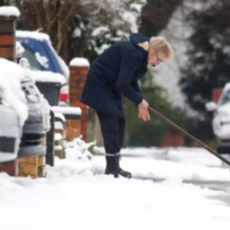
The Met Office has issued a fresh weather warning for snow across parts of England, with the alert coming into effect from Tuesday as temperatures are forecast to turn significantly colder. This development raises the prospect of further wintry disruption following recent unsettled conditions.
Updated Forecasts Signal Colder Spell
Weather experts have updated their forecasts for the period from Tuesday through to Thursday, indicating a distinct possibility of snowfall as colder air moves in from the north. While many regions will continue to experience rain, the dropping temperatures increase the likelihood of this precipitation turning to snow in certain areas, particularly across northern England.
Regional Variations in Weather Patterns
The latest weather maps indicate heavy rainfall over Birmingham and the wider West Midlands region during Tuesday night, with further bands of rain expected to follow over the subsequent forty-eight hours. The Met Office's official forecast for Tuesday to Thursday states: "Remaining unsettled with further rain and showers for many. Wettest for eastern Scotland, southwest England and possibly Northern Ireland. Turning colder in the north from mid-week with some snow possible."

Extended Outlook for Mid-February
Looking further ahead, the period between February 12th and February 21st could see additional wintry weather. The Met Office indicates that predominantly cyclonic patterns are expected to dominate across the United Kingdom during this timeframe.
The meteorological service elaborated: "The early part of this period could see colder conditions becoming established more widely for a time, bringing with it the likelihood of some snow, primarily to the north and northeast. However this should offer a few days respite from the wet weather across the south. By the end of this period, the track of Atlantic depressions may shift a little further north than during the last few weeks. This will maintain broadly unsettled weather, with further spells of rain and perhaps strong winds at times."
Preparing for Changing Conditions
This new warning serves as an important reminder for residents across affected regions to prepare for potentially hazardous travel conditions and to stay updated with the latest forecasts. The shift towards colder temperatures marks a significant change from the recent wet weather patterns that have characterised much of the winter period thus far.


