The UK is bracing for a fresh wave of wintry hazards this weekend, with forecasts indicating a potential 'snow bomb' for northern regions. This comes as the country gradually recovers from the recent deep freeze brought by Storm Goretti.
Immediate Ice Hazard and Weekend Snow Threat
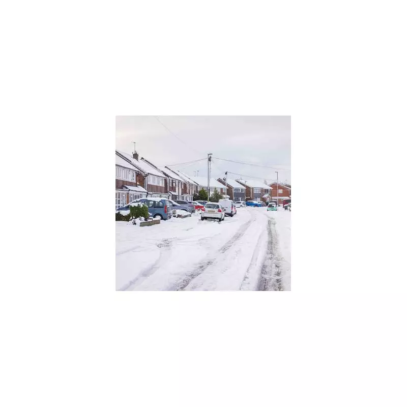
The most immediate danger is widespread ice, particularly in Scotland where a yellow weather warning is active. Melting snow from last week's cold snap is refreezing on untreated roads and pavements, creating a significant 'hidden' hazard. This risk extends to northern England overnight on Wednesday and Thursday.
Looking ahead to the weekend of January 17-18, the focus shifts to snow. Independent weather models are signalling a major system, with some charts showing a vast band of precipitation moving west to east. If this moisture collides with the lingering cold air, it could trigger heavy snowfall.

Regional Forecast: North vs South
The impacts will vary dramatically across the country:
- Northern England & North East: These areas are most likely to see 'settling' snow. Some predictions suggest accumulations of up to 10 inches (25cm) on the highest peaks.
- Scotland: Wintry showers will continue, with snow expected on high ground. The current ice warning covers Grampian, Highland, and Strathclyde.
- Midlands & South: Conditions here will be milder and wetter, with rain more probable than snow. However, widespread frost is expected on the night of January 14 and into Thursday morning.
Met Office Urges Caution Amid 'Unpredictable' Forecasts
While some dramatic maps circulate online, the Met Office is adopting a more measured stance. It describes the coming period as 'unsettled and changeable' rather than guaranteeing a severe snow event. The forecaster also views long-range predictions of a '450-mile wall of snow' in the week of January 20-22 as highly unpredictable, suggesting temperatures may instead trend closer to average.
The key uncertainty lies in how Atlantic weather systems interact with the cold air still present over the UK. A direct clash would bring heavy snow, primarily to the north, while a shift could mean more rain for central and southern areas.
Residents in Scotland and northern England are advised to monitor Met Office warnings closely, plan for difficult travel conditions due to ice, and stay updated on the evolving weekend forecast.