
The Met Office has activated a significant yellow weather warning for snow, impacting ten specific regions across northern England and the Midlands. This alert is in effect from 3:00 PM on Thursday, February 5th, until 3:00 AM on Friday, February 6th, 2026.
Affected Regions and Expected Conditions
The warning covers parts of the East Midlands, North East England, North West England, and Yorkshire and Humber. The specific local authority areas included are Derbyshire, Durham, Northumberland, Cheshire East, Cumbria, Greater Manchester, Lancashire, North Yorkshire, South Yorkshire, and West Yorkshire.
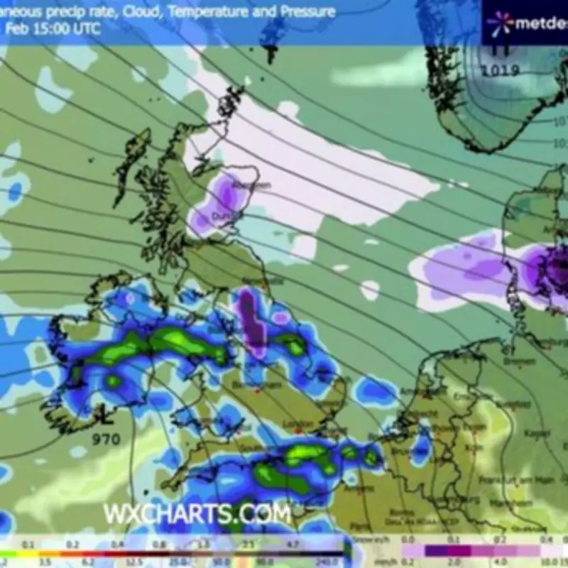
Forecasters indicate that a "multi-hazard" weather front will bring a mix of rain and wintry precipitation. The primary concern is for rain to turn increasingly to snow over hills this afternoon and into the evening.

Projected Snow Accumulations
Accumulations are highly dependent on altitude:
- Locations above 250 to 300 metres could see around 5cm of snow.
- Elevated ground beyond 500 metres may receive up to 15cm.
While some sleet and snow may brush lower-lying areas during the evening, significant settling is considered unlikely at these altitudes. Any snow that does fall is expected to thaw relatively quickly through Friday morning.
Travel Disruption and Wider Weather Outlook
The Met Office warning highlights the potential for travel disruption as conditions deteriorate. Motorists and public transport users in the affected regions are advised to plan for hazardous road conditions and possible delays.
For the rest of the UK, the outlook remains cloudy and wet for much of Thursday. Persistent rainfall is anticipated across southern and southwestern England, south Wales, and eastern Scotland. It will stay cold and windy in the north, where snow is most probable on the hills.
Friday's Forecast
Looking ahead to Friday, rain is expected to persist in many areas. Snow will continue on northern hills before eventually clearing. The northwest may experience some brighter spells, while heavy showers are likely to develop towards the southwest of the country.
Avalanche Warnings in Scottish Highlands
Separately, the Scottish Avalanche Information Service (SAIS) has issued hazard warnings for six mountain ranges in the Highlands, underscoring the severe conditions at high altitudes.
- The Cairngorms are under a "considerable" threat level. This means natural avalanches may occur, and a single individual could likely trigger a slide on steep slopes.
- A "moderate" risk is in place for Creag Meagaidh, where human-triggered avalanches are possible.
- Glencoe, Lochaber, and Torridon face a "low" avalanche risk, indicating only small or medium natural avalanches are possible. Conditions are typically considered safe for journeys, though caution is still advised on isolated steep terrain.
For those venturing into high-risk regions, mountain safety advice is crucial. Walkers and climbers are advised to utilise safer features like ridges and scoured slopes for passage, while remaining extremely vigilant about visibility and careful route selection.


