
Storm Dave Approaches with Severe Weather Threat
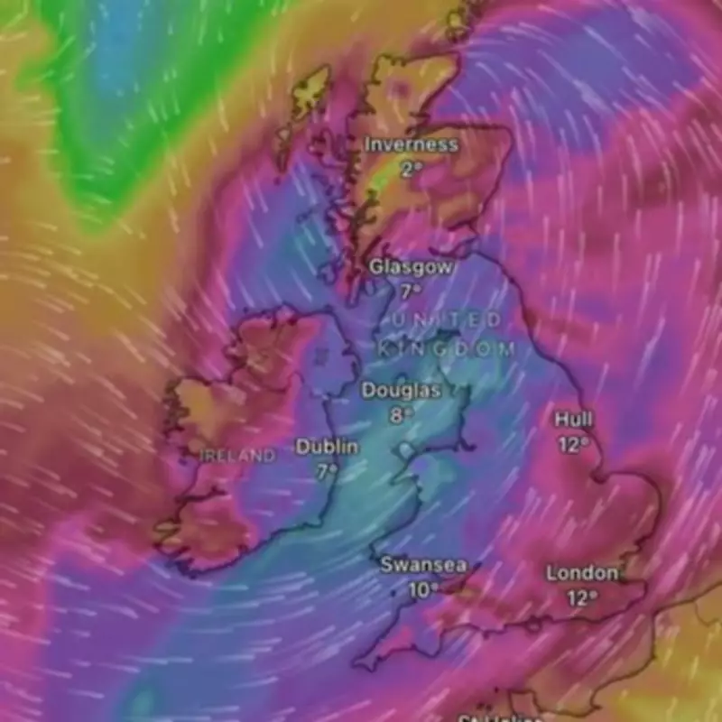
The United Kingdom is on high alert as Storm Dave prepares to make landfall, with the Met Office issuing a rare Amber warning for wind. Forecasters predict this powerful weather system could unleash gusts of up to 90mph and dump as much as 12 inches of snow across affected areas.
Timing and Impact of the Storm
The low-pressure system, named earlier this week as the fourth storm of the season, was expected to reach UK shores around 5pm on Saturday. The most severe conditions are anticipated overnight, from 7pm onwards, continuing into Easter Sunday morning. The Amber warning remains active from 7pm Saturday until 3am Sunday, covering 25 locations primarily in northern regions.
Meteorologists warn that Storm Dave will bring a spell of disruptive and potentially damaging winds, with the strongest impacts concentrated in northern parts of the UK. Weather specialist Jim Dale emphasized that this is a northern event, not a southern event at all, with the brunt expected in West and North Scotland.

Specific Weather Predictions
According to detailed forecasts:
- North and West Scotland: Could experience wind gusts of 80-90mph at peak intensity
- Most of Scotland: Expected to see winds of 60-70mph
- Northern Ireland and Northern England: Anticipated gusts of 50-55mph
- Midlands regions: Likely to experience winds around 40mph
Beyond the powerful winds, the storm system will bring additional hazards including heavy rainfall and blizzard conditions for higher elevations in Scotland. The Met Office has specifically warned that flying debris is likely and could lead to injuries or danger to life.
Travel Disruptions and Safety Warnings
The storm's arrival during one of the busiest travel weekends of the year raises significant concerns. Forecasters anticipate major disruptions to air, ferry, and rail services across affected regions, with potential cancellations and significant delays.
The RAC has issued specific guidance for motorists, with spokesperson Rod Dennis advising: Drivers shouldn't underestimate the impact of the very strong winds that are forecast. We recommend taking extra care on exposed, higher routes and being especially cautious when overtaking high-sided vehicles.
Additional safety recommendations include:
- Slowing down significantly in affected areas
- Maintaining a firm grip on the steering wheel
- Avoiding unnecessary travel during peak storm conditions
- Exercising particular caution in mountainous regions
Regional Focus and Outdoor Risks
Weather specialists have expressed particular concern for outdoor enthusiasts who might be caught unaware. Jim Dale specifically warned about climbers in areas like Glencoe and Ben Nevis, as well as boaters venturing into coastal waters, stating that they're gonna get caught out if they set out during the storm.
The storm's path is expected to take it over western Ireland, across Northern Ireland, into western Scotland, and out through northeast Scotland toward the Shetlands by Sunday morning. This trajectory concentrates the most severe impacts on northern regions while sparing southern areas from the worst conditions.
As the UK braces for Storm Dave's arrival, authorities continue to monitor the situation closely and urge residents in affected areas to follow safety guidelines and stay informed about developing conditions.


