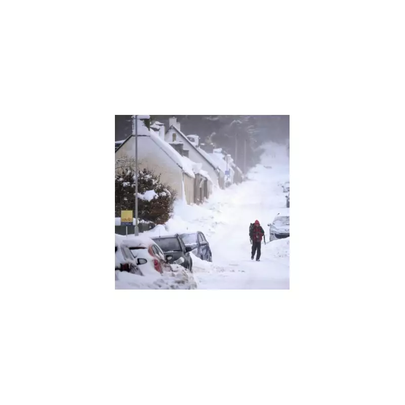
The United Kingdom is preparing for a significant and disruptive snow event, with weather models predicting a powerful wintry vortex will bring blizzard conditions and substantial accumulations across the country in early January.
Severe Winter Storm Forecast for January
According to the latest data from WX Charts, which utilises Met Desk information, the most severe conditions are currently projected for Saturday, January 11. The system is expected to bring heavy snow from the early hours, around 6am, impacting a vast swathe of the nation.
Advanced modelling indicates that three of the four Home Nations – England, Scotland, and Wales – will be affected by the blizzards. The snowfall is predicted to reach as far south as London, challenging the perception that the capital is immune to such significant winter weather.

Regional Snowfall Totals and Impacts
The North East of England is forecast to be the worst-hit region. Areas in the vicinity of Newcastle and Northumberland could see snow depths reaching a staggering 43 centimetres – more than a foot of accumulation.
In a notable warning for southern residents, the models suggest London could be submerged under around 17cm of snow, a level of accumulation that would cause major travel disruption across the city and the wider transport network.
Meteorologists Warn of Prolonged Cold Snap
Jim Dale, senior meteorologist at British Weather Services, provided a detailed timeline for the incoming cold spell. He stated the pattern will establish from January 1, with a cold front pushing through the UK and bringing snow initially to the Scottish Highlands and Grampians.
"From the third [of January], I would suggest a good part of Northern UK; so that I'm talking about Northern Ireland, Northern England, North Wales, maybe as far south as Norfolk, Lincolnshire-Norfolk way," Mr Dale explained. He characterised the looming period as potentially becoming "the nightmare after Christmas, rather than the nightmare before Christmas."
The BBC Weather forecast for the coming days aligns with this outlook, indicating a turn progressively colder. It predicts wintry showers in the north on New Year's Day, followed by colder air and hill snow pushing southwards on Friday. Saturday is expected to be colder still, with sleet and snow showers likely along northern, eastern, and western coasts.
Residents across the UK are advised to monitor official forecasts closely and prepare for potentially hazardous travel conditions, school closures, and service disruptions as the severe winter weather takes hold in the new year.