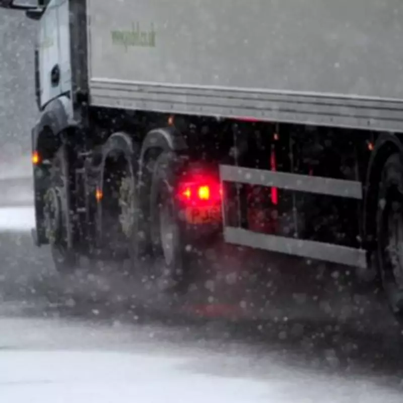
Three UK Regions on Alert for 'Rare and Dangerous' Freezing Rain This Sunday
Three specific parts of the United Kingdom are preparing for a rare and dangerous weather phenomenon this coming Sunday, as forecast by WX Charts using Met Desk data. The areas identified are Inverness, Wales, and Lincolnshire, where freezing rain is expected to occur alongside plummeting temperatures that could reach as low as -8°C on February 15.
What Is Freezing Rain and Why Is It So Hazardous?
Freezing rain is an uncommon form of precipitation that freezes almost instantly upon contact with cold surfaces. This creates a glazing effect, turning everything from leaves to car mirrors into what resembles ice sculptures. The Met Office has highlighted that this phenomenon is not only rare but can be particularly dangerous, especially for aircraft operations.
The process occurs when rain droplets pass through a layer of cold air before reaching the ground. These droplets become "supercooled," meaning they remain in liquid form even though their temperature has dropped below freezing. When they hit surfaces that are also below zero, they spread slightly before instantly freezing, coating whatever they touch with a layer of ice.
Detailed Weather Forecast for the Weekend
According to a BBC Weather team forecast, the weekend will see overnight rain and snow clearing eastwards on Sunday, leading to bright spells and some showers. Monday is expected to follow a similar pattern, with showers becoming increasingly confined to the far north and turning to snow at all levels. Both days may be windy at times.
By Tuesday, conditions are predicted to settle and become bright, though cloud and rain could develop from the south-west by evening. Nick Finnis from Netweather TV provided additional insight, noting that colder air is already moving into Scotland and the far north of England, with temperatures just above freezing and precipitation falling as snow inland.
He added that more rain is on the way for England and Wales towards the end of the week, as an area of low pressure near Ireland tracks slowly southeast. This low will also pull in colder air from Norway as it clears southeast, potentially exacerbating conditions.
Implications and Safety Precautions
This weather event underscores the importance of staying informed and taking necessary precautions. Residents in the affected regions should be aware of the risks associated with freezing rain, such as:
- Icy roads and walkways, increasing the likelihood of slips and accidents.
- Potential disruptions to travel, including flights and public transport.
- Damage to infrastructure due to the weight of ice accumulation.
Authorities advise monitoring updates from the Met Office and local news sources to stay prepared for any developments. As this rare phenomenon unfolds, it serves as a reminder of the unpredictable nature of UK weather and the need for vigilance during extreme conditions.


