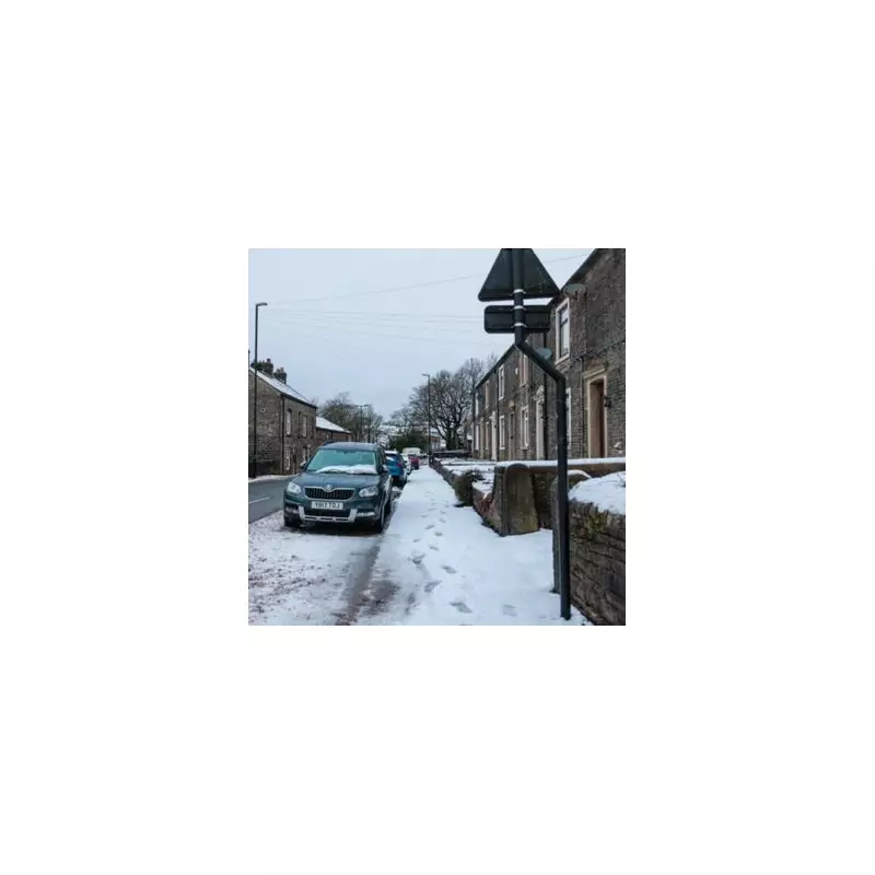
Britain is on alert as weather forecasts have been dramatically upgraded, warning of a potential blizzard that could dump staggering amounts of snow across the country later this month.
Forecast Details and Snowfall Timeline
Advanced modelling from WX Charts indicates a severe wintry blast is set to hit the UK, with the most eye-catching accumulations predicted for Scotland. Up to 31 inches (79 centimetres) of snow could be dumped on parts of the Scottish Highlands, bringing a high risk of significant disruption.
The system is expected to move across Northern Ireland, Scotland, Wales, and England from midday on Monday, January 26. The snowfall is then forecast to continue throughout the day and into Tuesday, January 27, with the possibility of further showers persisting.
Nationwide Impact and Key Areas at Risk
While Scotland faces the deepest accumulations, the rest of the UK will not escape the freeze. The weather maps show a widespread covering is likely.
In England, areas including Birmingham and the wider West Midlands conurbation, Greater Manchester, Cheshire, and Lancashire are all in line to be blanketed. Flurries are also expected in the east, affecting Norfolk, Suffolk, and Cambridgeshire.
By January 27, the modelling suggests wintry showers could reach the capital, with Greater London, Essex, and swathes of southern and eastern England seeing snow. The potential exists for snow to fall from the south coast right up to the far north of Scotland.
Major Scottish cities like Edinburgh and Glasgow are also forecast to receive a dusting, and light snow is possible in Northern Ireland.
Potential for Widespread Disruption
By Wednesday, January 28, the charts indicate that almost everywhere in the UK is at risk of being brought to a standstill, with only Wales and the far south-west of England potentially avoiding the worst of the conditions.
The Met Office long-range forecast for the period from January 29 onwards supports the potential for a severe cold snap. Their outlook states: "Later in the period, there is an increased chance that conditions will turn colder. This aspect of the forecast is still somewhat uncertain but the potential transition to colder weather also increases the chance of snow across parts of the country."
Residents across the UK are advised to monitor the latest weather warnings and travel updates as this significant winter weather event approaches.


