
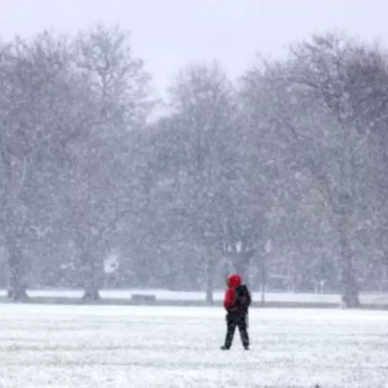
The United Kingdom is on high alert as meteorological data indicates the imminent arrival of a severe snowstorm, with projections suggesting snowfall rates could reach a staggering four inches per hour in certain areas. This intense weather event is scheduled to commence in the early hours of Sunday, February 15, bringing widespread disruption and challenging conditions across the nation.
Extensive Snow Cover Expected Across Multiple Regions
According to detailed analysis from WX Charts, an extensive area spanning approximately 600 miles of the country is likely to be blanketed in snow starting from 3am on Sunday. The northern regions, including the north west, north east, and Scotland, are anticipated to bear the brunt of the initial snowfall. Additionally, the West Midlands and East Midlands are forecast to experience significant accumulations as the storm system develops.
Southern Areas Also at Risk of Snowfall
While the northern territories are expected to face the most severe conditions, meteorological data from the Met Desk suggests that southern regions are not immune to this winter onslaught. The south west, Greater London, and the south east could also see substantial snow cover as the storm progresses. By around 9am on Sunday, flurries are likely to extend into eastern England, resulting in widespread snow accumulations across much of the country.

Met Office Provides Broader Weather Outlook
The Met Office has issued a forecast for late February, indicating that changeable conditions will persist across the UK during this period. Low pressure systems are expected to dominate, bringing showers or prolonged spells of rain, which could be heavy at times. There remains a possibility of hill snow in northern areas, though temperatures are projected to be close to or slightly above average overall.
The forecast specifically notes: "Some drier interludes are likely, though it must be said, flooding impacts remain possible given recent very wet weather. Windy conditions look probable from time to time. There is a reduced chance, compared to earlier thinking, of a late season prolonged cold spell."
Short-Term Weather Predictions from BBC Weather
In the immediate days leading up to the snowstorm, BBC Weather forecasts largely cloudy conditions with patchy rain for Thursday. Far northern areas may experience brighter intervals, but wintry showers are expected to develop along coastal regions.
The outlook for Friday suggests spells of rain and hill snow in the southern half of the country at the start of the day, with snow showers pushing into northern areas as the day progresses. Saturday is anticipated to be a bright and mostly dry day, providing a brief respite before the significant snow event arrives on Sunday.
Residents across the UK are advised to stay informed through official weather updates and prepare for potential travel disruptions, school closures, and other impacts associated with heavy snowfall. Emergency services and local authorities are likely to issue further guidance as the storm approaches.


