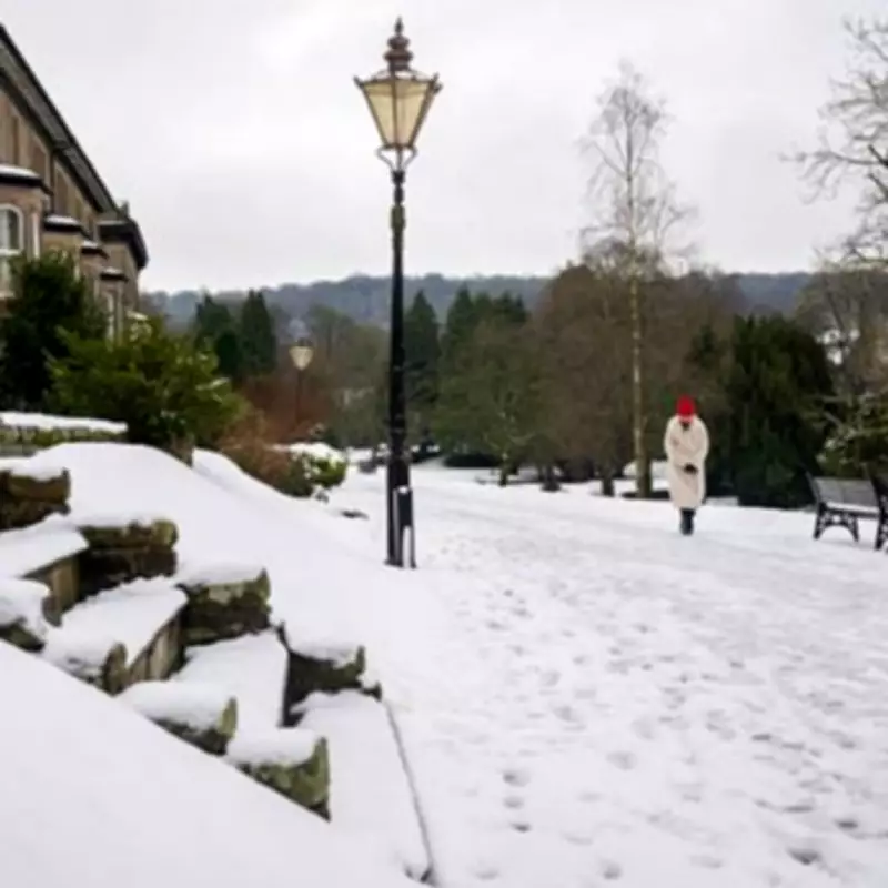
The Met Office has issued a significant weather update, extending its snow warnings and alerting more areas across the United Kingdom to prepare for wintry conditions as January transitions into February. The national weather service anticipates a weekend marked by cold temperatures and potential snowfall, with the advisory now covering periods through to Monday morning, February 2.
Extended Forecast Details
According to the latest projections from Met Office forecasters, the period from Thursday, January 29, through Monday will see a continuation of unsettled weather patterns. The forecast indicates that Thursday will bring further wet and breezy conditions, accompanied by some snowfall, with these flurries expected to persist into the evening and linger throughout Friday, January 30.
Specific Areas Affected
The Met Office has specifically identified several regions that are likely to experience snow showers during this extended forecast period. The areas named in the advisory include:
- North of England (Thursday, January 29)
- North East of England (Thursday, January 29)
- Northern hills (Friday, January 30)
- Northern hills (Saturday, January 31)
- Northern hills (Monday, February 1)
Weekend Weather Patterns
The forecast suggests that the weekend will remain unsettled, with a continued risk of snow showers across various parts of the country. Friday is expected to be rather cloudy and breezy, with rain moving northwards that may turn to snow over some northern hills. While southern areas might see brief brighter spells, heavier rain and particularly brisk winds are anticipated to develop in these regions.
Looking ahead to Saturday and Sunday, the Met Office predicts that most areas will experience showers or longer spells of rain, coupled with brisk winds at times. The service specifically notes that further snow is likely on northern hills throughout this period.
Expert Analysis
Adding context to the Met Office warnings, Exacta Weather's James Madden has commented on the broader atmospheric patterns influencing this cold spell. Madden points to an early February major atmospheric disturbance and Sudden Stratospheric Warming event that could enhance cold and wintry expectations over the coming weeks.
"Moving forward, we also have the early February major atmospheric disturbance and SSW event to enhance these cold and wintry expectations over the coming weeks in February and also into spring and particularly March," Madden explained. He added that his organization has been tracking these patterns for several weeks, having issued multiple updates about the potential for cold and snowy conditions during late January and early February.
Current Conditions and Outlook
The Met Office notes that while fog will gradually become confined to hills, Thursday is expected to be rather cloudy overall. Patchy rain and hill snow are likely to affect the northeast, while the far west and southwest will experience breezy conditions with showers that may be replaced by heavy rain later in the day.
The extended forecast summary states: "Rather cloudy with some rain and hill snow in the north. Further wet and breezy weather towards the southwest moving northeastwards overnight. Turning clearer and showery in the southwest later." The service emphasizes that conditions will remain unsettled over the weekend and into the start of next week, with most areas facing showers or longer spells of rain alongside brisk winds.


