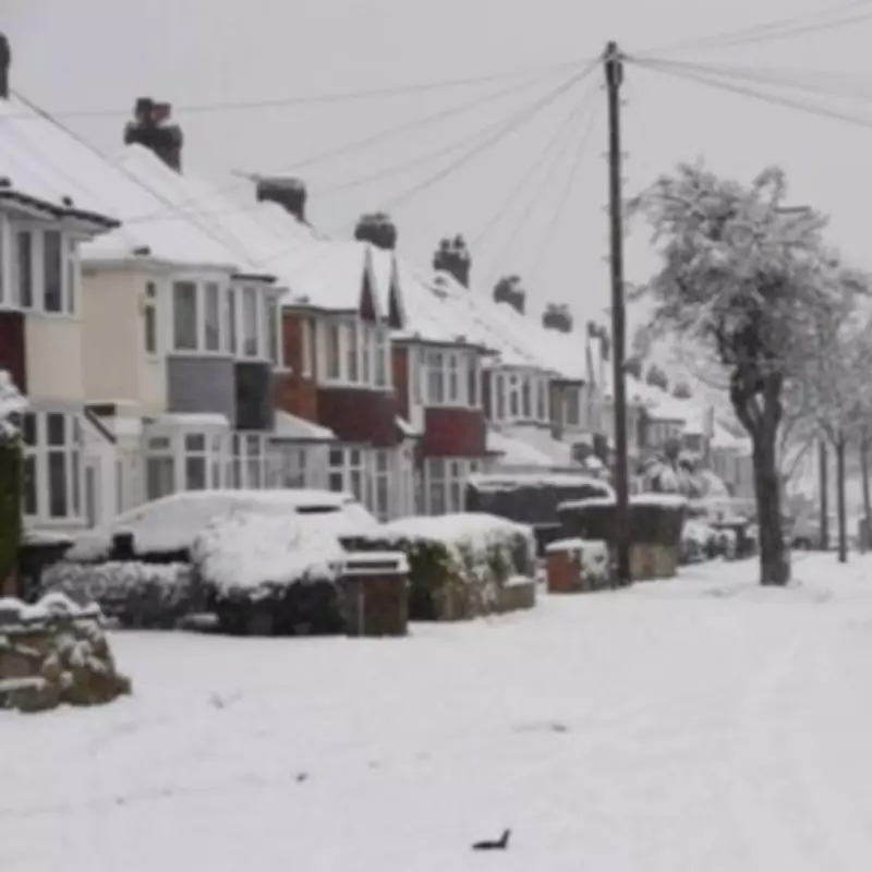
Met Office Issues Snow Warning for UK Regions from Friday
The Met Office has announced that significant snowfall is expected to affect various parts of the United Kingdom from Friday, February 13, with specific regions in England identified as being at heightened risk. In a detailed forecast released this week, the national weather service has outlined where flurries are likely to occur as colder conditions set in towards the weekend.
Forecast Details and Affected Areas
According to the Met Office's written forecast, the weather will remain unsettled initially, with further outbreaks of rain for many areas. However, a shift to colder and brighter conditions is anticipated on Friday, bringing with it a chance of snow showers. The agency specifically highlighted that snow is most likely in the north and in the east of England, though other regions may also experience wintry precipitation.
Jo Farrow from Netweather TV provided additional context, noting that the weather across the UK on Monday was quite mixed, with areas of rain and cloud interspersed with brighter breaks. She mentioned that temperatures were mild, ranging from 8 to 11°C, but this is set to change as a low-pressure system moves in by midweek.
Weather Patterns Leading Up to the Snowfall
Ms Farrow explained in a blog post that by Wednesday, the main low-pressure system will arrive, eventually moving towards Denmark. This will result in wet conditions in the north, feeling cold, while the south remains brighter and mild. However, another pulse of heavy rain could affect the Channel coast of southern England later in the day.
Thursday is expected to be mixed again, with a wet, wintry mix over central Scotland and more snow inland. A band of rain will spill eastwards over Northern Ireland, Wales, and more of England, as fine weather appears in the southwest—a welcome change for that region.
Extended Forecast and Expert Insights
The Met Office's five-day forecast headline summarises the situation as "Unsettled at first, turning colder later this week." Adding to this, Exacta Weather's James Madden provided further insight, stating that from around Friday and into Saturday, snow will continue in the aforementioned locations and become more widespread. He specified that larger parts of Central England, including lower levels, as well as extensive areas to the east and south-east of England, including towards the capital, are likely to see snow. Additionally, some large parts of southern England and south-west England, including lower levels, are also at risk.
This forecast underscores the importance for residents in the affected regions to stay informed and prepare for potential disruptions due to snowfall. The Met Office continues to monitor the situation closely and will provide updates as necessary.


