
The Met Office has released its latest weather forecast, pinpointing specific UK regions that could experience snowfall during the upcoming weekend of January 31 and February 1. The national weather service has issued warnings for areas at risk from wintry precipitation as the country transitions from January into February.
Areas Facing Snowfall This Weekend
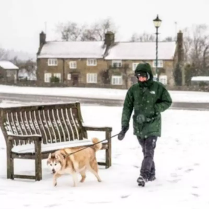
According to the detailed Met Office outlook, the primary locations identified for potential snow accumulation are northern hills in England and various hills across Scotland. These elevated regions are most susceptible to wintry conditions as colder air interacts with incoming weather systems.
Detailed Weather Forecast for Saturday and Sunday
The meteorological service describes Saturday's conditions as often cloudy with possible brighter spells in eastern areas. Light rain and drizzle may occur almost anywhere across the country, while heavier rain and showers in the southwest are expected to edge slowly northwards throughout the day.

For Sunday through Tuesday, the Met Office predicts continuing unsettled weather patterns. Showers or longer spells of heavy rain are forecast to affect most areas, accompanied by brisk winds at times. The service specifically notes that further snow remains possible on northern hills during this period.
Weather Patterns and Low Pressure Influence
The dominant weather feature influencing UK conditions is a persistent area of low pressure that will maintain its influence throughout much of the weekend. This meteorological setup brings more outbreaks of rain on Saturday for central and southern parts of England, with showers expected further north.
The Met Office's brief outlook summary indicates that rain will move northwards across the country, potentially turning to snow over some northern hills. The forecast suggests that southern areas might experience brief brighter conditions initially, though heavier rain and strong winds are expected to develop from the south and west during Saturday afternoon.
Temperature-wise, northern regions are anticipated to feel rather cold, while bands of rain or showers are predicted to affect many areas of the country. Some heavier bursts are particularly expected across the southwest, though drier spells may develop, especially towards the northwest where local frost conditions become possible.
The weather service has emphasized that this unsettled pattern continues the challenging conditions for some flood-hit areas, with further rainfall expected in regions already dealing with excess water. Residents in affected areas are advised to stay updated with the latest local forecasts and warnings as the weekend progresses.


