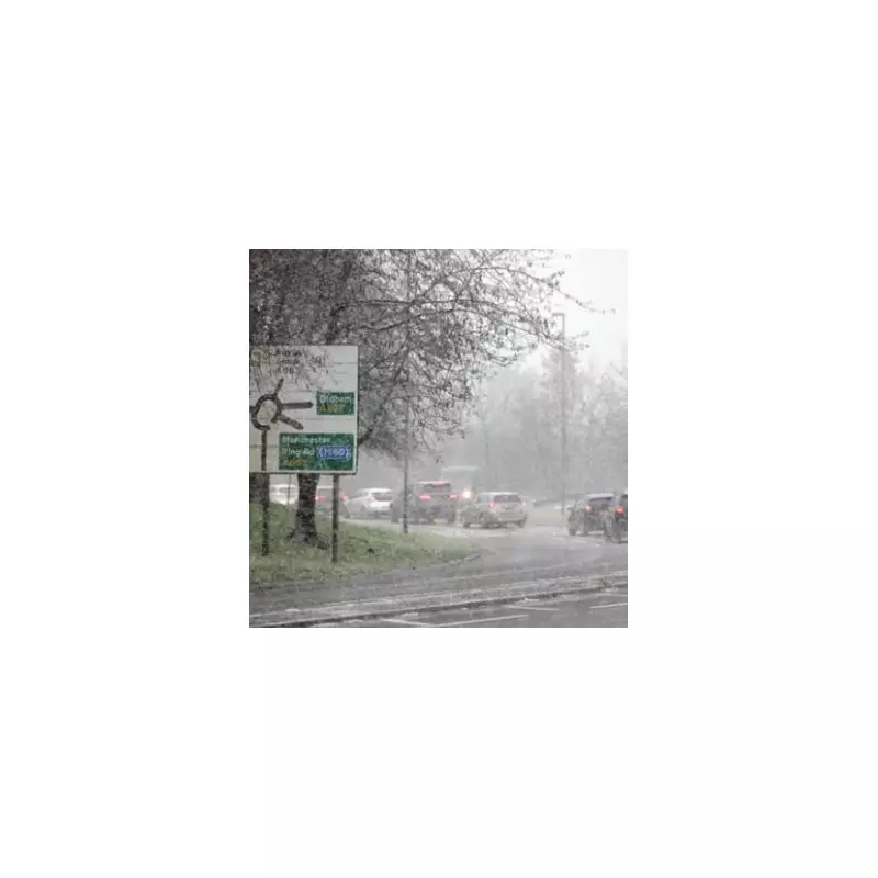
The Met Office has activated yellow weather warnings for snow across several regions of the United Kingdom as a significant cold weather system approaches the country. Forecasters are predicting disruptive conditions with hill snow expected in northern areas and widespread rainfall accompanied by strong winds affecting many parts of the nation.
Weather Warnings and Regional Impacts
Meteorological experts have identified specific areas that are likely to experience snowfall during the early part of the week. The weather service has highlighted particular concern for the north east of England, northern England, and Scotland, where accumulations of snow are anticipated on higher ground.
Detailed Forecast Breakdown
For Monday, January 26th, the Met Office predicts largely cloudy conditions with outbreaks of rain and hill snow particularly affecting northeastern regions. During the afternoon, heavy rain and strengthening winds will push into western areas, bringing with them a risk of localised flooding in some locations. Coastal gales are possible in Northern Ireland, adding to the challenging conditions.
Overnight into Tuesday, heavy rain is expected to spread across the country with strong winds persisting in western regions and hill snow continuing in northern areas. Coastal gales are likely around western coasts, potentially causing disruption to travel and outdoor activities.
Midweek Weather Patterns
The Tuesday outlook suggests cloudy conditions with heavy persistent rain initially, gradually moving eastward and clearing to sunny spells and blustery showers in southwestern regions. Windy conditions will continue with coastal gales, potentially becoming severe in southwestern coastal areas.
Looking ahead to Wednesday through Friday, changeable weather patterns are expected with spells of rain continuing and hill snow remaining possible in northern regions. Eastern areas may experience drier conditions on Wednesday with some sunny spells, though temperatures will feel chilly, hovering around seasonal averages for this time of year.
Expert Analysis and Additional Perspectives
James Madden from Exacta Weather provided additional context, stating: "The upcoming week is likely to be largely unsettled at times with wet weather conditions and precipitation turning to transient snow or potentially heavy snow in places as these expected unsettled conditions coincide with colder conditions across our shores."
Madden further explained that the colder conditions are expected particularly during overnight and morning periods, though not necessarily restricted to these time frames as the week progresses. He noted that to start the current week and for much of Monday, conditions will be largely dry for many areas, with the worst weather likely appearing as mist or fog in certain locations, while any rain or wintry weather with snow will more than likely be restricted to moderate to higher ground to the east of Scotland initially.
The Met Office continues to monitor the situation closely and advises the public to stay updated with the latest weather forecasts and travel information as conditions may change rapidly during this period of unsettled weather.


