The Met Office has issued three thunderstorm warnings for Friday, covering a total of 112 areas across Scotland, Northern Ireland, England, and Wales. The alerts all take effect from midnight tonight, marking the end of the current UK heatwave.
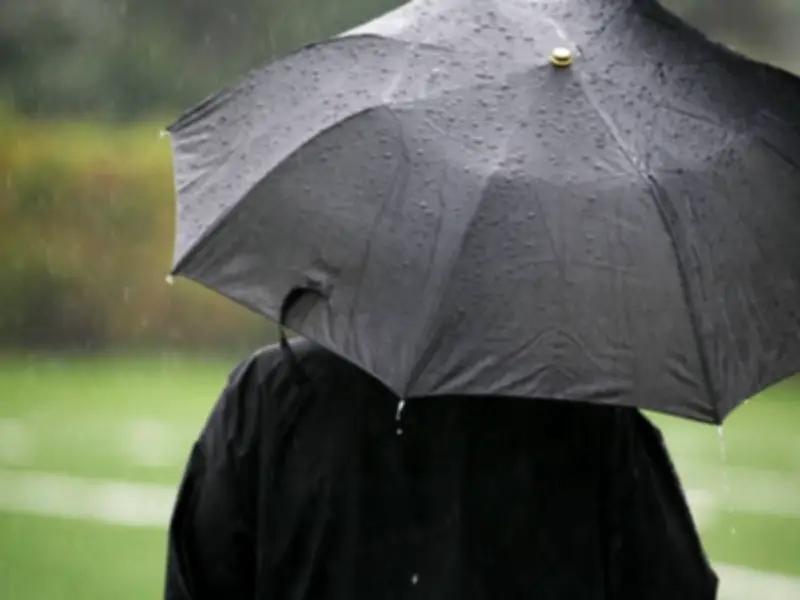
The warnings predict thunderstorms and heavy rain that could cause disruption, including flooding, lightning strikes, hail, and strong winds. The Met Office stated: 'Thunderstorms and heavy rain may cause some disruption.' There is a chance of delays and cancellations to train and bus services, as well as difficult driving conditions due to spray and sudden flooding, potentially leading to road closures.
Scotland Warning Details
For Scotland, the warning covers a wide area including Angus, Clackmannanshire, Dundee, Falkirk, Fife, Perth and Kinross, Stirling, Aberdeen, Aberdeenshire, Moray, Na h-Eileanan Siar, Highland, Orkney Islands, Dumfries and Galloway, East Lothian, Edinburgh, Midlothian Council, Scottish Borders, West Lothian, Argyll and Bute, East Ayrshire, East Dunbartonshire, East Renfrewshire, Glasgow, Inverclyde, North Ayrshire, North Lanarkshire, Renfrewshire, South Ayrshire, South Lanarkshire, and West Dunbartonshire.

The Met Office warned: 'Spells of heavy rain and thunderstorms initially over northwest Scotland are likely to become more widespread during Friday morning. Further thunderstorms and spells of heavy rain are possible in the afternoon before becoming confined to more northern areas of Scotland later in the day.' Rainfall amounts could reach 20-30 mm in one hour and 30-50 mm in three hours, with frequent lightning, large hail (2-4 cm diameter), and locally gusty winds.
As Scotland braces for potentially its hottest day of the year, Scottish Borders Council is deploying gritters to treat roads. Chief executive David Robertson explained: 'What we’re seeing is ambient road temperatures at the height of the heat up in the 40s - and that causes the tar on the road to melt. So if you see the gritters, it’s not the council being daft – it's us trying to protect the road surface.' The lorries will spread a fine layer of sand instead of salt.
Northern Ireland Warning
In Northern Ireland, the warning covers County Antrim, County Armagh, County Down, County Fermanagh, County Londonderry, and County Tyrone. The Met Office stated: 'A few heavy showers and thunderstorms are likely to move north across parts of Northern Ireland during Friday morning. Whilst some places will miss them, where they occur hail and frequent lightning are likely along with rainfall totals of 15-20 mm in less than an hour.'
England and Wales Warning
For England and Wales, the warning includes a large number of areas: Derby, Derbyshire, Leicestershire, Nottingham, Nottinghamshire, Hampshire, Oxfordshire, Darlington, Durham, Gateshead, Hartlepool, Middlesbrough, Newcastle upon Tyne, North Tyneside, Northumberland, Redcar and Cleveland, South Tyneside, Stockton-on-Tees, Sunderland, Blackburn with Darwen, Blackpool, Cheshire East, Cheshire West and Chester, Cumbria, Greater Manchester, Halton, Lancashire, Merseyside, Warrington, Bath and North East Somerset, Bournemouth Christchurch and Poole, Bristol, Devon, Dorset, Gloucestershire, North Somerset, Somerset, South Gloucestershire, Swindon, Torbay, Wiltshire, Herefordshire, Shropshire, Staffordshire, Stoke-on-Trent, Telford and Wrekin, Warwickshire, West Midlands Conurbation, Worcestershire, East Riding of Yorkshire, North Lincolnshire, North Yorkshire, South Yorkshire, West Yorkshire, and York. In Wales, the warning covers Blaenau Gwent, Bridgend, Caerphilly, Cardiff, Carmarthenshire, Ceredigion, Conwy, Denbighshire, Flintshire, Gwynedd, Merthyr Tydfil, Monmouthshire, Neath Port Talbot, Newport, Powys, Rhondda Cynon Taf, Swansea, Torfaen, Vale of Glamorgan, and Wrexham.
The Met Office added: 'Thunderstorms are expected to move northeastwards across parts of England and Wales during the early hours of Friday, clearing during Friday morning. Whilst many areas will miss them, thunderstorms may produce sudden, gusty winds with 50 to 60 mph possible, particularly in the south and west of the warning area. Frequent lightning, hail and heavy rain (possibly 15-20 mm in an hour) are additional hazards.'

Residents and travelers are advised to check the latest forecasts and plan for potential disruptions. The warnings come as the UK heatwave breaks, with temperatures expected to drop following the storms.