A severe and icy blast has firmly gripped the West Midlands, transforming Birmingham and the wider Black Country into a winter wonderland under a thick blanket of snow. The region has woken up to freezing temperatures and significant snowfall, with the cold snap set to continue for much of the week.
Met Office Issues Detailed Forecast for Frigid Week
The Met Office has provided a day-by-day breakdown of the challenging conditions residents can expect. Monday, January 5 began with a very cold, frosty and icy start. The forecast predicts a mainly dry day with long sunny periods, but warns of the odd rogue light snow flurry. Temperatures will struggle to rise much above freezing, with a maximum of just 2°C.
Tonight, temperatures are expected to plummet quickly below freezing, leading to a widespread and severe frost. Clear, starry skies are anticipated overnight, but icy patches are likely. The minimum temperature could dive as low as -7°C.

Looking ahead to Tuesday, January 6, another very cold start with a severe frost is expected. The day will gradually turn cloudier with occasional bright spells. There is a chance of a little rain or sleet later, especially during the evening, with conditions turning slightly milder and a maximum temperature of 4°C.
Unsettled Weather Expected Later in the Week
The outlook from Wednesday, January 7 to Friday, January 9 suggests a changeable pattern. While Wednesday may start largely dry, conditions are expected to turn unsettled thereafter. The region should brace for periods of heavy rain, and potentially hill snow, which could bring some travel disruption at times. It will also turn windier, with gales possible later in the period.
Authorities are urging Brummies and those in the Black Country to wrap up warm and take extra care on the roads and pavements due to the persistent cold, snow, and ice.
A Pictorial Journey Through a Snow-Covered Kings Heath
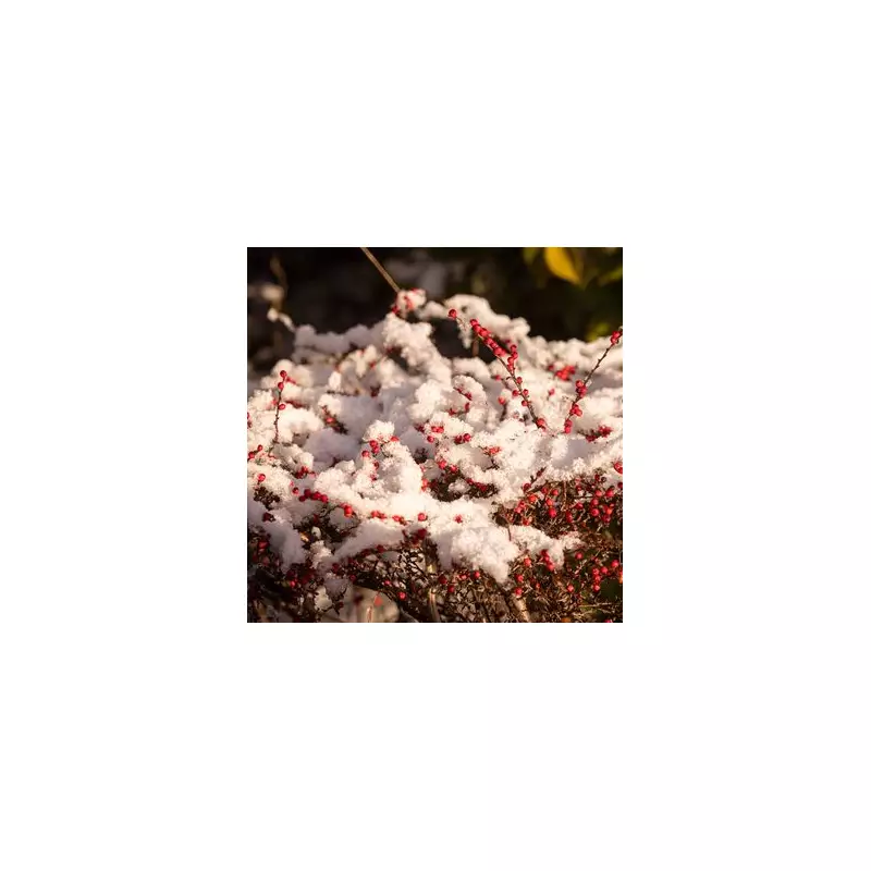
The snowfall has created picturesque scenes across the region. Here is a glimpse of how the icy blast has transformed areas in and around Kings Heath this January:
- A serene, white-covered street in Kings Heath, with snow clinging to trees and garden walls.
- A local park, its familiar paths and benches hidden under a uniform layer of fresh snow.
- A classic red telephone box dusted with snow, offering a quintessentially British winter scene.
- Residential roads where cars are partially buried, showing the depth of the overnight fall.
- Children building a snowman on a green space, now entirely white.
- A snow-dusted church spire standing out against a grey winter sky.
- Footprints tracing the only paths through otherwise untouched snow on pavements.
- A community high street where shop fronts and signs are frosted with ice and snow.
- A frozen pond in a local recreation ground, its surface shimmering.
- A panoramic view showing the extent of the snowfall across the suburb's rooftops and gardens.
The New Year has certainly arrived with a frosty punch for the West Midlands. With more unpredictable weather on the horizon, residents are advised to stay updated with the latest travel advice and weather warnings from the Met Office.