Birmingham is preparing for a significant bout of severe winter weather, with forecasters predicting a deluge of rain followed by snowfall in the second week of January. This comes after the city experienced travel disruption and hazardous conditions in the opening days of the new year.
Post-New Year Chaos and Fresh Warnings
The Met Office had a Yellow weather warning for snow and ice in force across large parts of England, including Birmingham and the West Midlands, on the morning of Friday, January 2. The snowfall quickly turned to ice on roads, leading to a number of incidents. One notable collision involved a bus crashing into a bus stop, highlighting the dangerous conditions for travellers.
Major Rainfall and Snow Event Predicted
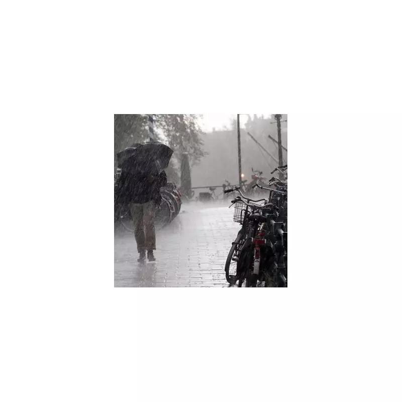
According to data from WX Charts, which utilises Metdesk information, the city is not out of the woods yet. A powerful band of wet weather is forecast to sweep across the region on Friday, January 9.

The modelling suggests Birmingham could be drenched by up to 18.3mm of rainfall per hour around midday. Later that same day, by 6pm, the precipitation is expected to turn wintry, with up to 2.4cm of snow predicted to fall.
Other areas within the wider Midlands region are bracing for even more intense rainfall. South Staffordshire, for instance, could see a staggering 28.6mm of rain arrive at 12pm on January 9.
Met Office Long-Range Outlook
The Met Office's own extended forecast, covering the period from January 6 to 15, supports the potential for further disruptive weather. It states that the recent cold spell driven by northerly winds should begin to ease by the middle of next week.
However, it warns: "Bands of rain seem likely to gradually move in off the Atlantic and, as these encounter the cold air entrenched over the UK, some further snowfall is possible, particularly in central and eastern areas, with rain more likely in the west."
Looking further ahead to next weekend and beyond, the outlook becomes more uncertain. The most likely scenario is for less cold conditions than recently, but the forecaster cautions that further spells of snow remain possible, especially in northern and central areas. For the south and west, some milder periods are expected, but these could bring heavier rain and stronger winds at times.
Residents and commuters in Birmingham are advised to stay updated with the latest forecasts and travel information as the details for January 9 become clearer.