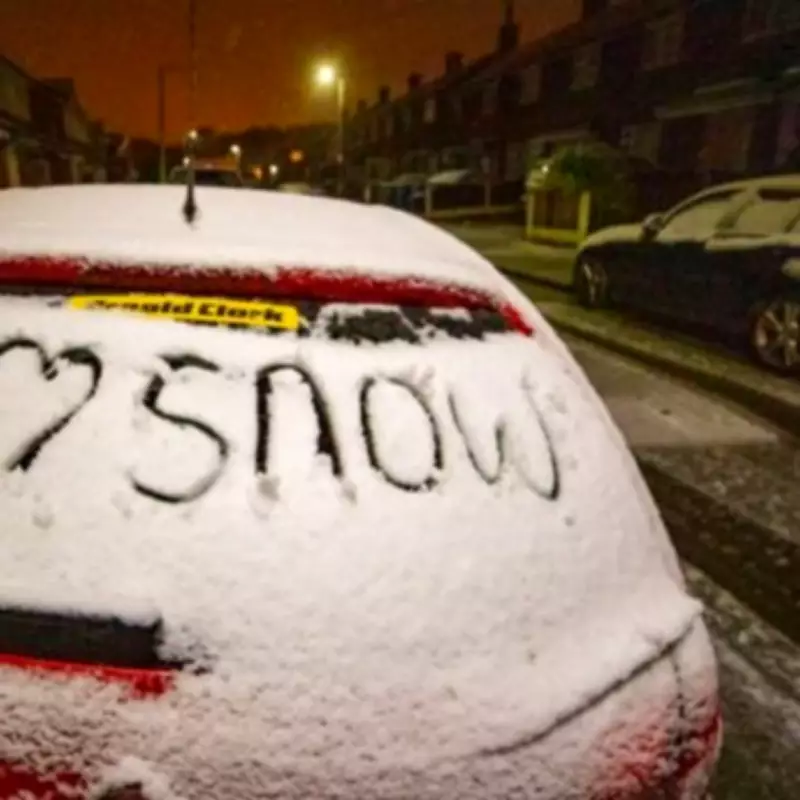
Birmingham Prepares for Extended Snow Event with Significant Accumulation Predicted
Weather modelling indicates that Birmingham is set to experience a substantial four-day snow event, with forecasters predicting up to 13 centimetres (five inches) of accumulation across central England. The extended period of wintry weather is scheduled to commence on February 11 and persist through to February 14, bringing significant disruption potential to the West Midlands region.
Detailed Forecast and Accumulation Projections
Advanced meteorological data from the GFS system, processed through WX Charts using Met Desk information, reveals that three separate snow storms are expected to impact the area between February 11 and February 13. These consecutive weather systems will create a prolonged period of snowfall that extends into February 14, resulting in a continuous four-day snow event for Birmingham and surrounding areas.
The accumulation charts specifically highlight central England as the region most likely to experience the heaviest snowfall, with projections indicating a potential 13 centimetres of accumulation. This significant depth represents one of the more substantial snow events forecast for the region this winter season.
Regional Impact and Weather Patterns
Beyond Birmingham, the weather modelling suggests several other UK regions will experience varying degrees of wintry precipitation. According to current forecasts:
- Northern Ireland is expected to receive approximately 3 centimetres (one inch) of snow
- Parts of Wales might see accumulations reaching 10 centimetres (four inches)
- The North West of England, South West of England, and West Midlands all face significant snow risk
Weather expert James Madden of Exacta Weather commented on the developing situation, noting: "There is also some low to moderate confidence at present that some wintry weather will occur in some parts to the east and west of Ireland during this same Friday period." He further explained that the wintry showers are likely to become better organised as they travel northwards from later on Friday, particularly affecting parts of northern England and Northern Ireland.
Meteorological Context and Future Outlook
Mr Madden elaborated on the forecasting methodology in a recent update, stating: "These forecast projections are also a compilation of indications from some of the main third-party computer models and are also starting to show up for our earlier expected dates from various other and independent third-party sources."
The extended snow event is expected to be followed by a largely dry weekend for many areas, with only occasional or sporadic showers anticipated in some locations. However, forecasters warn that further wintry weather and snow may return across UK shores prior to mid-February, influenced by major atmospheric disturbances and developing blocking patterns that could affect weather systems over potentially prolonged periods.
Residents and authorities in Birmingham and the wider West Midlands region are advised to prepare for significant travel disruption, potential school closures, and necessary adjustments to daily routines during this extended period of winter weather. The four-day duration of the forecast snow event represents an unusual weather pattern for the region, requiring particular attention to weather updates and official advisories as the situation develops.


