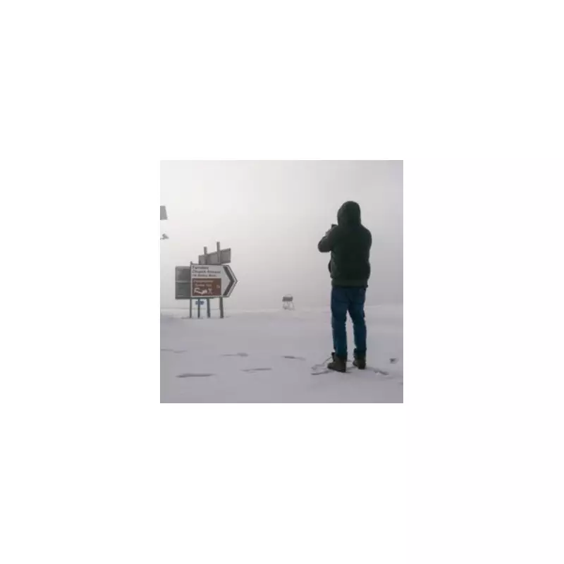
The Met Office has issued a precise timeline for snowfall expected to hit Birmingham on Friday, January 2, with a yellow weather warning for snow in effect until midday.
Timeline of Friday's Snow and Ice
Forecasters indicate that snow could fall in Birmingham before midday on Friday, with accompanying ice warnings adding to the hazardous conditions. Temperatures are predicted to hover around 0°C throughout the morning, only climbing to a peak of 2°C between 1pm and 3pm.
From 4pm, the mercury will begin a steady drop, returning to freezing point by 7pm. The BBC Weather forecast states that patchy rain, sleet, and snow will clear from the south during the morning, leaving a cold and bright day for most, though coastal areas facing northward will see further snow showers.
A Bitter Nationwide Freeze to Follow
The cold snap is set to intensify dramatically overnight into Saturday. Met Office Meteorologist Jonathan Vautrey warned that temperatures could plunge as low as -10°C in parts of Scotland with lying snow.
"But even elsewhere, widely in towns and cities around the UK, it'll be -3C to -4C. It'll be bitterly cold for all of us as we do start off the weekend," he added. He also noted that a change in wind direction on Saturday could bring more wintry showers to eastern coasts of England.
Travel Warnings and Safety Advice
In light of the severe conditions, police are urging the public to exercise caution. Chief Superintendent Scott McCarren, Police Scotland's head of road policing, advised: "Our advice is to plan ahead and consider if your journey is really necessary during the bad weather or if it can be delayed until conditions improve."
He emphasised key safety points for those who must travel:
- Drive to the conditions and be prepared for delays.
- Allow extra time for your journey.
- Do not drive through road closures, which are implemented for public safety.
The outlook for the following days remains cold. Sunday is forecast to be another dry but cold day, with sleet and snow showers continuing on north-facing coasts. By Tuesday, cloud and rain are expected to build from the west, with further snow likely for northern Scotland.


