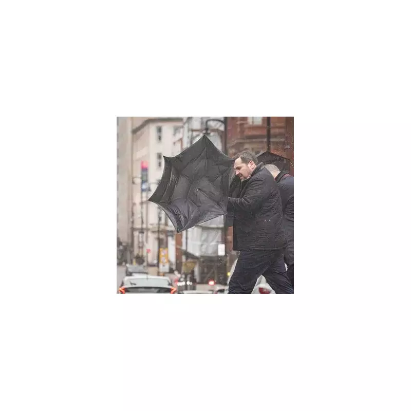
The city of Birmingham is set for a significant soaking today, as forecasters predict a band of heavy and prolonged rainfall to sweep across the region. This comes just days after wintry snow blanketed the area, marking a swift and damp transition in conditions.
Today's Wet Weather Warning
According to the Met Office, Thursday, January 15, will begin brightly for many but will quickly turn cloudy from the south through the morning. A concerning band of rain is expected to spread northeastwards, bringing the threat of sustained downpours. Despite the wet weather, temperatures are set to rise slightly with a maximum of 8°C, accompanied by breezy conditions at times.
Overnight Frost and Weekend Outlook
The rain is forecast to clear to the northeast by midnight, leaving some clear spells. However, the Met Office warns that a patchy frost is possible overnight, with temperatures dipping to a minimum of 2°C. The odd shower may also feed in from the west during the early hours.

Looking ahead to Friday, a gloomy start with low cloud is expected, with occasional showers possible from the west. Some brighter spells may develop during the day, particularly in eastern areas, with highs again reaching around 8°C.
Saturday to Monday Forecast
The weekend will bring a mixed bag of weather. Forecasters predict a combination of sunny spells and scattered showers through Saturday and Sunday. Under any clear skies overnight, fog and patchy frost are likely to form. The situation is set to change again as we move into Monday, with conditions turning wet and breezy as weather systems move in from the west.
Residents are advised to stay updated with the latest local forecasts and prepare for potentially difficult travel conditions due to surface water and reduced visibility.