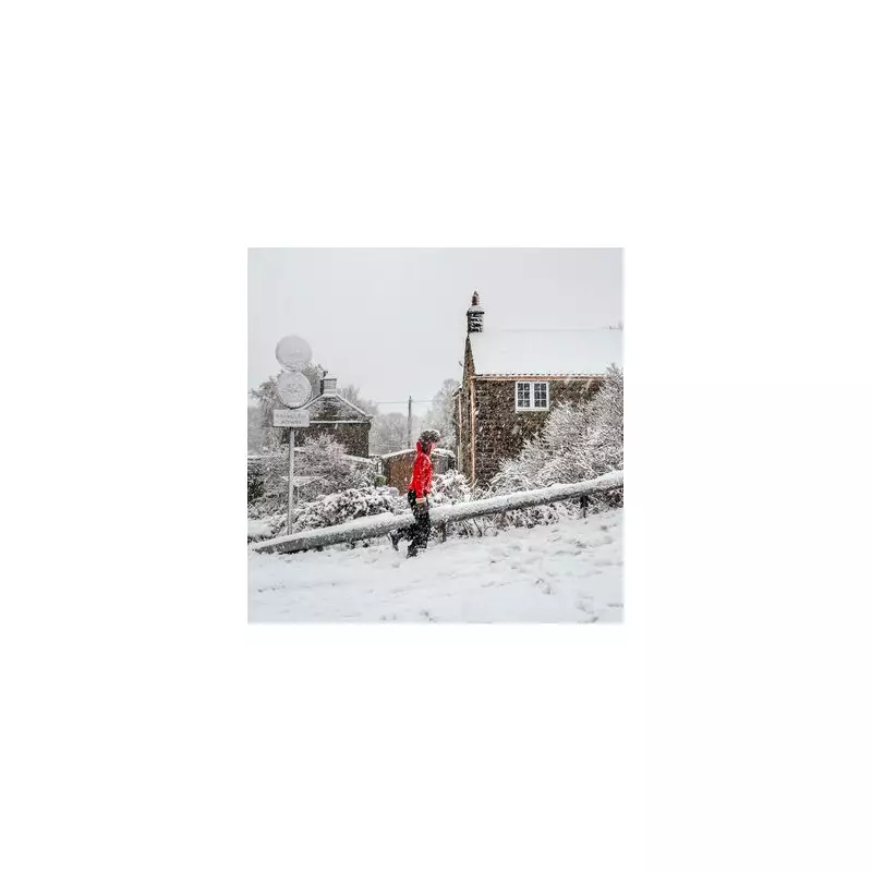
The Met Office has placed a significant part of central England and Wales on alert, issuing a yellow weather warning for snow and ice. The alert comes into force from midnight tonight, Thursday, January 1, and will remain active throughout Friday, January 2.
Warning Area and Expected Impact
The warning zone stretches from Manchester in a south-easterly direction all the way to London, enveloping major urban centres including Birmingham and the Black Country. A large portion of Wales is also covered by the alert.
Forecasters predict that an area of sleet and snow will move south-eastwards across the affected regions. This wintry precipitation is expected to last for around two to three hours in any single location. Where snow settles, accumulations of 1-2cm are likely for many, with the potential for up to 5cm in a few spots, particularly over the higher ground of north Wales and north-west England.

Travel Disruption and Safety Advice
The Met Office has stated that some travel disruption is expected due to the combination of snow and ice. Icy patches are forecast to develop quickly once the sleet and snow clears.
Residents are being urged to take precautions. The advice is to plan to leave home at least five minutes earlier than usual to avoid rushing. "Not needing to rush, reduces your risk of accidents, slips, and falls," the forecaster emphasised. The public is also reminded to keep themselves and their families safe during icy conditions.
Bitterly Cold Weekend Ahead
The snow warning is part of a broader spell of very cold weather. Over the weekend of January 3 and 4, daytime temperatures will struggle to rise above freezing, potentially remaining around 1°C or lower.
Current projections suggest that snowfall could affect various parts of Britain over the coming days, with the possibility of much of the country seeing a covering by the end of next week. This coincides with the time when most people will be returning to work and their usual routines after the festive break.