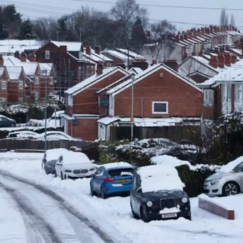
New weather forecasts are predicting a return of wintry conditions to the United Kingdom later this month, with several towns across the Midlands potentially in line for snowfall. The latest meteorological data suggests that parts of the region could experience light snow showers around the middle of February, bringing with it the possibility of travel disruptions and colder temperatures.
Areas Expected to Be Affected by the Incoming Snow
Detailed weather maps for the morning of Thursday, February 12, currently show snow covering various parts of the Midlands. Key urban centres that may see the white stuff include Birmingham, Wolverhampton, and Stoke-on-Trent. While the snowfall in these areas is anticipated to be relatively light, with accumulations of around 1 centimetre, even minor amounts can lead to slippery roads and public transport delays.
Beyond the Midlands, the forecasts also indicate flurries for much of Wales. Central and eastern Scotland are expected to bear the brunt of the heaviest snow during this period. The Met Office has highlighted that wintry weather is becoming more probable from the second week of February onwards.
Met Office Forecast Details for Early to Mid-February
The national weather service's outlook for the period from February 6 to 15 explains the atmospheric conditions driving this potential change. "Frontal systems over the Atlantic, steered by a south-shifted jet stream, are likely to approach the UK at times, but tending to stall as they encounter a blocking area of high pressure to the north and northeast," the forecast states.
This meteorological setup is predicted to result in further spells of rain, particularly affecting areas already vulnerable to flooding. As these rain bands move northwards, they may encounter colder air, leading to snow possibilities over northern England and Scotland, especially on higher ground.
A significant development noted by forecasters is a subtle southward shift of low-pressure areas anticipated during the second week of February. This shift could allow colder air to spread across larger parts of the UK, including southern regions, thereby increasing the risk of wintry hazards such as snow, ice, and frost for a temporary period.
Broader Weather Trends and Expected Impacts
Weather experts have also indicated that colder temperatures are likely to persist during the latter half of February. This extended period of chill could compound any disruptions caused by the initial snowfall, affecting daily commutes, school runs, and outdoor activities.
Residents across the Midlands are advised to stay updated with the latest weather warnings and travel advice as the situation develops. Local authorities and transport providers may need to implement contingency plans to manage potential icy conditions on roads and pavements.
While the predicted snow accumulations are currently forecast to be light, the combination of wintry precipitation and dropping temperatures underscores the importance of preparedness during the winter months. Keeping an eye on official forecasts from the Met Office will be crucial for those planning travel or outdoor engagements in the coming weeks.


