The Met Office has significantly widened its weather alert for the Midlands, warning residents to prepare for snow and ice arriving in the early hours of Friday, 2 January 2026.
Expanded Warning Zone and Expected Impact
The area covered by the yellow warning for snow and ice has been extended further east, now encompassing cities like Leicester and areas to the west of Nottingham. The alert stretches from Manchester south and south-eastwards to London and the coast, fully covering Birmingham and the Black Country.
Meteorologists state that a band of sleet and snow will move south-eastwards across England and Wales, affecting any single location for roughly two to three hours. The snowfall is expected to commence in the early hours of Friday before giving way to clearer conditions later in the day.

How Much Snow Will We Get?
The forecast suggests a varied accumulation across the region. While many places are likely to see a light dusting of 1 to 2 centimetres, some spots could receive as much as 5 centimetres. The highest accumulations are considered more probable over higher ground, such as in north Wales, north-west England, and potentially the north-west Midlands.
The Met Office also cautioned about icy conditions developing rapidly. "Some ice may form as a result of precipitation falling on to frozen surfaces and icy patches will also develop quickly as sleet and snow clears," their update warned.
Broader UK Weather Picture
While the Midlands is under a yellow warning, the situation is more severe further north. Rare amber warnings for snow are currently in place for parts of Scotland, indicating a higher likelihood of significant disruption and more hazardous travel conditions.
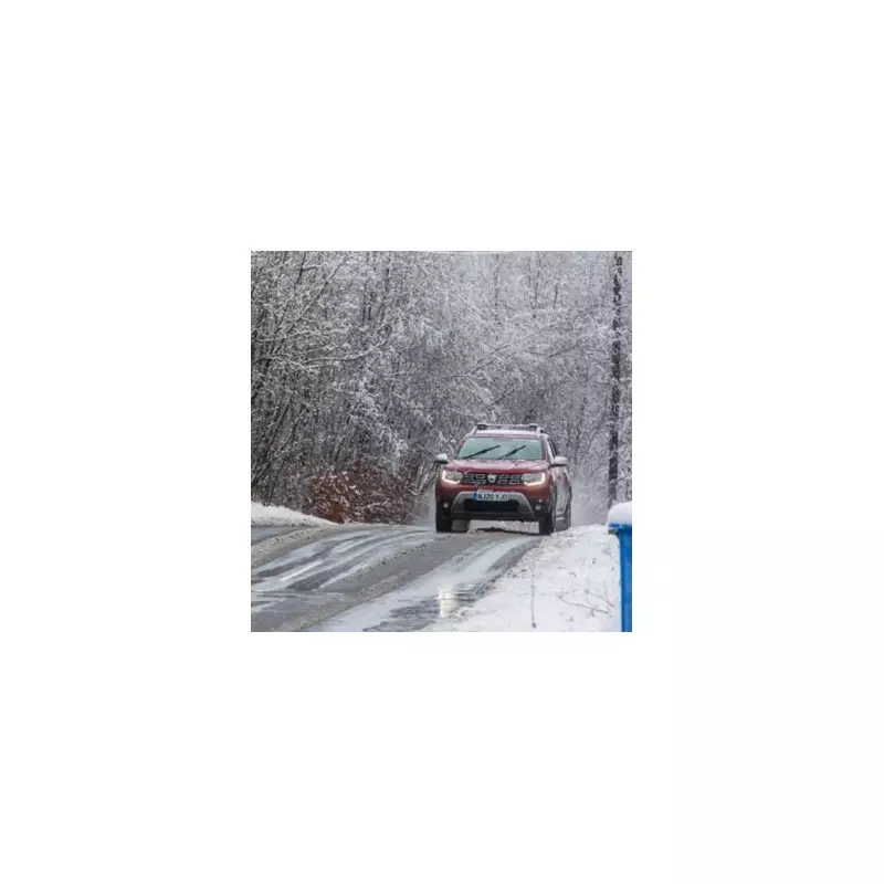
Residents across the updated warning area are advised to check travel conditions before setting out on Friday morning, allow extra time for journeys, and be prepared for potential delays on roads and public transport networks.