Severe Weather Warning Issued for Midlands
The Midlands region is preparing for a bout of severe winter weather as forecasters predict significant snowfall and heavy rainfall arriving within days. Weather maps from WX Charts have turned dramatic shades of purple, orange, and green, signalling the imminent arrival of disruptive conditions that could impact travel and daily life.
Detailed Weekend Forecast and Expected Impact
According to detailed analysis using metdesk data, the worst of the weather is expected to hit parts of the Midlands on Saturday, November 29. The most concerning predictions come from WX Charts, which indicates that Northamptonshire could see 2.6cm of snow falling every hour at around 12pm. Simultaneously, the same area may be deluged by up to 8.8mm of rainfall per hour, creating potentially hazardous slushy conditions and increasing the risk of localised flooding.
While the West Midlands appears likely to escape the heaviest snow blanketing, it won't go completely unaffected. Weather models suggest Birmingham could experience up to 3.9mm of rainfall around midnight on Sunday, November 30, adding to the generally unsettled conditions expected across the region.

Met Office Outlook and Broader Weather Pattern
The Met Office's forecast for the period from Friday, November 28 to Sunday, November 30 confirms the unsettled pattern. Their outlook states the region will experience "changeable over the next few days with showers or longer spells of rain" alongside "strong winds in parts of the north." The forecast also notes that while conditions will be "mild at first," they will be "turning colder to end the week," setting the stage for the wintry precipitation.
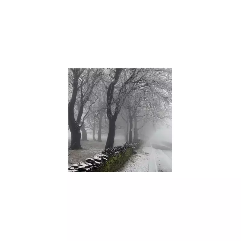
This upcoming weather event follows earlier spells of snow that have already affected parts of the country this year, indicating a continuation of the colder trend as winter establishes its grip on the UK.