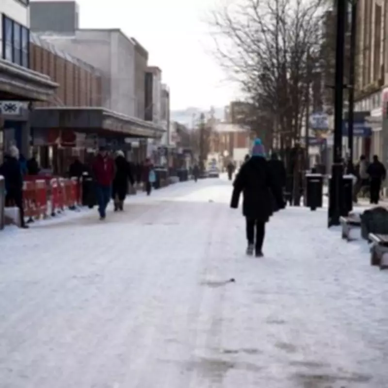
Midlands Snow Alert: Twin Blizzards Set to Hit Towns Next Week
Weather forecasters have issued a significant snow warning for the Midlands region, with twin blizzards expected to hit multiple towns and cities from next week. Snow maps using advanced GFS modelling reveal a concerning pattern developing across central England, with the first wave arriving on February 16 and a second front following shortly after.
First Wave: February 16 Impact
According to WX Charts projections, the initial snow front will arrive around 9pm on February 16, primarily affecting Worcestershire and Warwickshire. The following areas have been identified as particularly at risk:
- Droitwich
- Malvern
- Redditch
- Bromsgrove
- Coventry
- Stratford-on-Avon
- Henley
- Warwick
- Leamington Spa
- Rugby
Worcester may also experience significant snowfall according to the latest meteorological charts. The situation intensifies in the early hours of February 17, with Birmingham expected to be hit by snow around 3am.

Second Wave: February 17 Developments
A secondary snowfront is predicted to move across the UK during the evening of February 17. Maps for 6pm show snow falling across several counties including:
- Derbyshire
- Leicestershire
- Nottinghamshire
- Northamptonshire
Specific urban areas at risk include Derby, Leicester, Nottingham, and parts of the Black Country such as Wolverhampton. This twin-blast weather pattern represents a significant departure from recent conditions and requires careful preparation from residents and authorities alike.
Current Weather Context and Expert Analysis
The snow warnings come against a backdrop of already challenging weather conditions. As of Friday morning, more than 70 flood warnings had been issued across England and Scotland. The Environment Agency has cautioned that river levels will continue to rise over coming days as further rainfall is anticipated.
BBC forecaster Helen Willetts commented on the broader weather pattern, stating: "It has already been a record-breaking start to 2026 for some parts of the UK and February is continuing where January left off. Unsettled weather fuelled by Storms Goretti, Ingrid and Chandra added to deluge for many."
Willetts added: "Unfortunately for many, the wet weather shows no sign of letting up in the short term. The weekend looks more showery, though less windy and a little milder; however, there are signs pointing towards a colder, drier spell toward the end of the month."
Met Office Perspective
Alex Deakin from the Met Office provided additional context: "It's a wet one for most parts of the UK and low pressure continues to dominate. The slow moving area of low pressure continues to control our weather and hopefully it becomes a little less wet - but there will be plenty of rain around."
Deakin continued: "It will turn brighter through Friday afternoon but much of Wales, the Midlands, northern England will turn soggy. There has been snow over the Pennines and eastern Scotland too, with snow over the hills. As it keeps things cold, there will be some shelter in western Scotland with them staying dry."
The forecaster noted temperature variations, explaining: "Actually quite mild in the south and we could get to 11C or 12C temperature-wise, but in the wind it feels closer to freezing with a chilly feeling day. Continuing to feel some snow over the Grampian, but it will turn to rain mostly except over the tops of the hills."
Residents across the Midlands are advised to monitor weather updates closely and prepare for potential travel disruptions, school closures, and the need for appropriate winter clothing and home preparations as these twin weather systems approach.