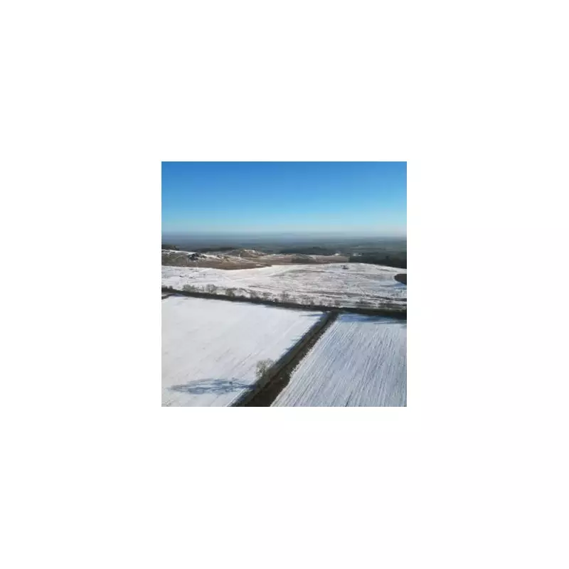
Fresh snowfall is forecast to hit parts of the Midlands later this month, with new weather maps pinpointing towns and cities at risk. Data from WX Charts, using projections from the Met Desk, indicates that changeable winter conditions will bring snow back to England around January 22.
Which Areas Are Most at Risk?
The long-range model projections highlight four counties expected to bear the brunt of the wintry weather: Nottinghamshire, Derbyshire, Staffordshire, and Leicestershire. The East Midlands looks set to be the worst-affected region, alongside parts of the North Midlands.
A significant number of towns have been identified as potential hotspots for the snowfall. Areas on alert include:

- In Staffordshire: Cannock, Stafford, Stoke-on-Trent, Leek, and Burton upon Trent.
- In Derbyshire: Chesterfield, Bakewell, Ashbourne, Buxton, and Swadlincote.
- In Nottinghamshire: Mansfield, Newark-on-Trent, Worksop, Retford, Arnold, Beeston, Sutton-in-Ashfield, Kirkby-in-Ashfield, and Eastwood.
- In Leicestershire: Loughborough, Hinckley, Market Harborough, Melton Mowbray, Ashby-de-la-Zouch, and Coalville.
What Does the Met Office Forecast Say?
The national outlook from the Met Office for the period from January 16 onwards supports the potential for unsettled conditions. Their forecast states that it will "likely remain changeable and at times unsettled for the UK as a whole."
"Further areas of low pressure moving in from the Atlantic will tend to dominate, meaning showers or longer spells of rain for many parts," the forecast explains. It also warns that heavy rain is possible anywhere, with periods of windy weather.
Regarding temperatures, the Met Office suggests they will be near normal overall, but with a possibility of colder spells in the north bringing associated winter hazards. Milder interludes are expected further south.
Looking Further Ahead to February
The forecast for early February indicates that low pressure is likely to remain dominant, leading to further spells of rain and wind. However, brief drier periods are also expected.
"Temperatures probably remaining close to average, particularly in the south," the update adds, "but there is the possibility of colder conditions... returning to northern areas around the turn of the month."
Residents across the identified Midlands counties are advised to stay updated with the latest local forecasts as the potential snow event approaches.