The Met Office has placed Birmingham and the wider West Midlands region on alert for a wintry start to the new year, issuing a fresh yellow warning for snow and ice.
Warning Details and Timing
The 12-hour weather warning is set to be active from 12am until 12pm on Friday, January 2. It covers the entirety of the West Midlands, including Birmingham and the Black Country. The alert also extends to parts of the North West of England, Wales, and the South and South East of England, including London.
What to Expect from the Incoming Weather
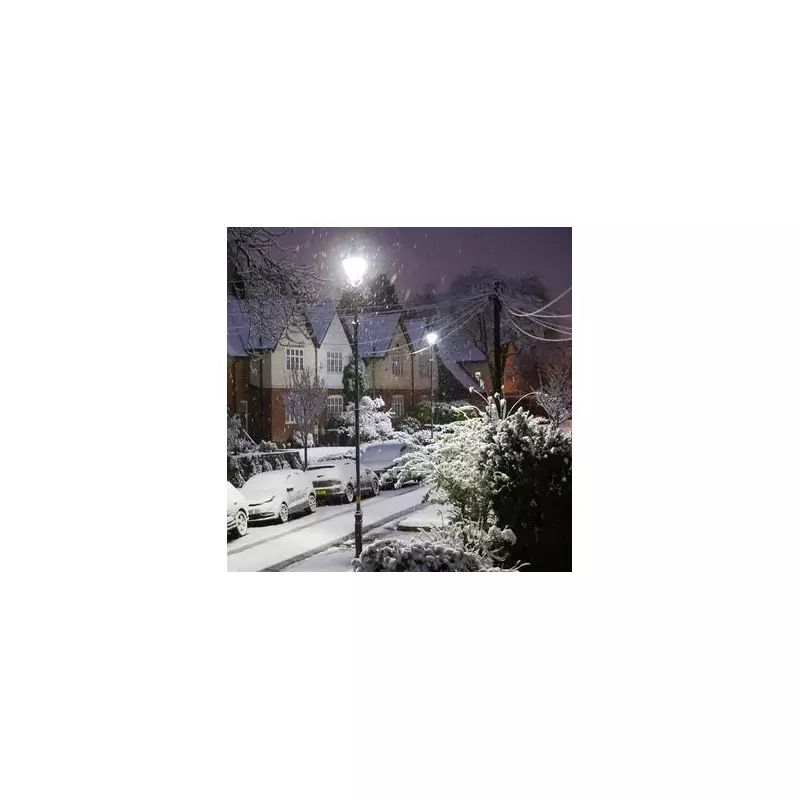
Forecasters predict an area of sleet and snow will move southeastwards across England and Wales, affecting any given location for two to three hours. Where snow settles, accumulations of 1 to 2 centimetres are likely for many areas.

However, the Met Office notes that up to 5cm could fall in a few spots, particularly over the higher ground of north Wales and northwest England. As the sleet and snow clears, icy patches are expected to form rapidly on untreated surfaces.
Potential Impacts and Public Advice
The yellow warning signals a likelihood of travel disruption during the Friday morning period. Residents are being urged to plan ahead for potential delays on roads and public transport.
People are also advised to take extra care to avoid injuries from slips and falls on icy pavements and paths. The Met Office has issued two further yellow snow and ice alerts for parts of the UK on the same day, covering Northern Ireland and areas of Scotland, where warnings will persist through the weekend.
This alert confirms that Birmingham and the Midlands region will indeed see a snowy beginning to 2026, following earlier forecasts of a potential widespread 'snow bomb' affecting the area.