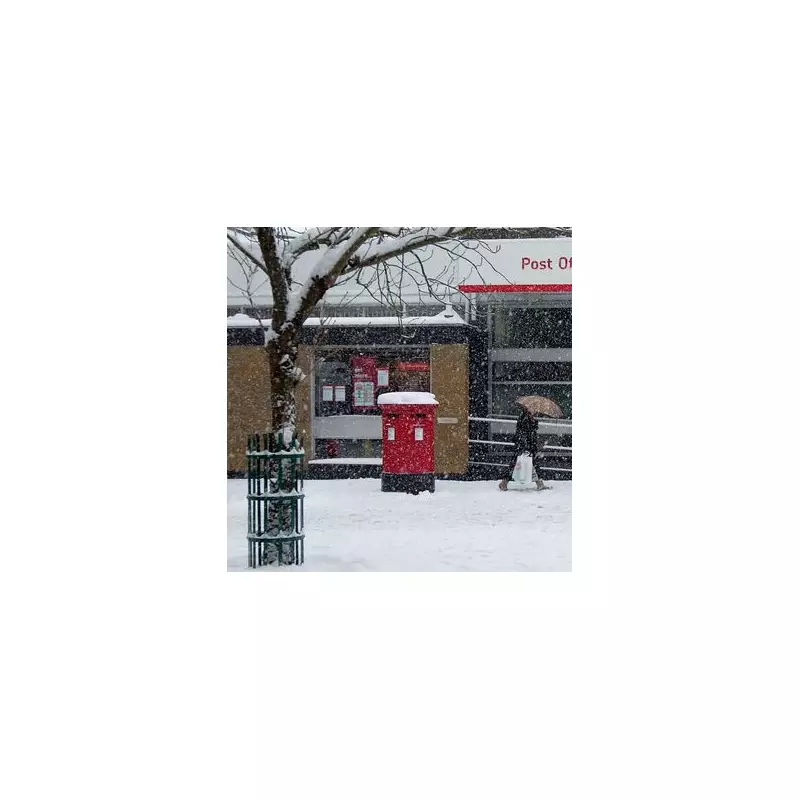
The arrival of Storm Goretti in Birmingham has been pinpointed by weather models, with the city preparing for significant snowfall and potential disruption. The French-named storm is expected to reach the West Midlands on the evening of Thursday, 8 January 2026, bringing with it a blanket of snow that could exceed 10 centimetres in depth.
Timeline of Snowfall for Birmingham
According to data from WX Charts, which utilises Metdesk information, the first flurries are forecast to start falling in Birmingham from around 6pm on Thursday. An initial covering of approximately 5cm is expected at this time.
The most intense period of snowfall is currently predicted for 9pm on Thursday, when up to 10.1cm of snow could descend upon the city within a single hour. The snow is then expected to continue through the night, gradually easing after 6am on Friday morning.

Detailed Forecast Accumulations
The following timeline, based on WX Charts data, outlines the expected snowfall for Birmingham:
- Thursday, 6pm: 5cm
- Thursday, 9pm: 10.1cm
- Friday, 12am: 4.9cm
- Friday, 3am: 6cm
- Friday, 6am: 1.4cm
By 9am on Friday, the charts indicate the snow will have cleared.
Met Office Amber Warning and Impacts
The Met Office has issued an amber weather alert for the West Midlands, alongside parts of northern England and Wales, valid from Thursday evening into Friday. The national forecaster warns that rain associated with Storm Goretti will turn readily to heavy snow, initially on higher ground and then to lower levels overnight.
Within the amber zone, accumulations of 10cm to 15cm are likely fairly widely. However, the Met Office notes that elevated regions, particularly hills above 200 metres in areas like Wales and the Peak District, could see a more substantial 20cm to 30cm of snow.
The warning highlights the risk of travel disruption, road closures, and potential power cuts. The Met Office stated: "Snow will ease through the course of Friday morning, turning more to rain or sleet at times at low levels, but disruption is likely to persist into Friday after snow stops falling."
Uncertainty and Further Updates
Forecasters have indicated some uncertainty regarding the precise track of Storm Goretti, which will influence which locations see the most disruptive conditions. As a result, the Met Office has advised that the current amber warning may be updated as the storm's path becomes clearer. Residents across Birmingham and the wider West Midlands are urged to monitor the latest forecasts and travel advice throughout Thursday and Friday.