The Met Office has released its latest weather forecast for the beginning of February, highlighting a significant downturn in conditions across the United Kingdom. As wintry weather makes a return, forecasters have pinpointed specific areas that are expected to experience snowfall, while also identifying regions set to escape the cold snap.
Forecast Details for Monday and Tuesday
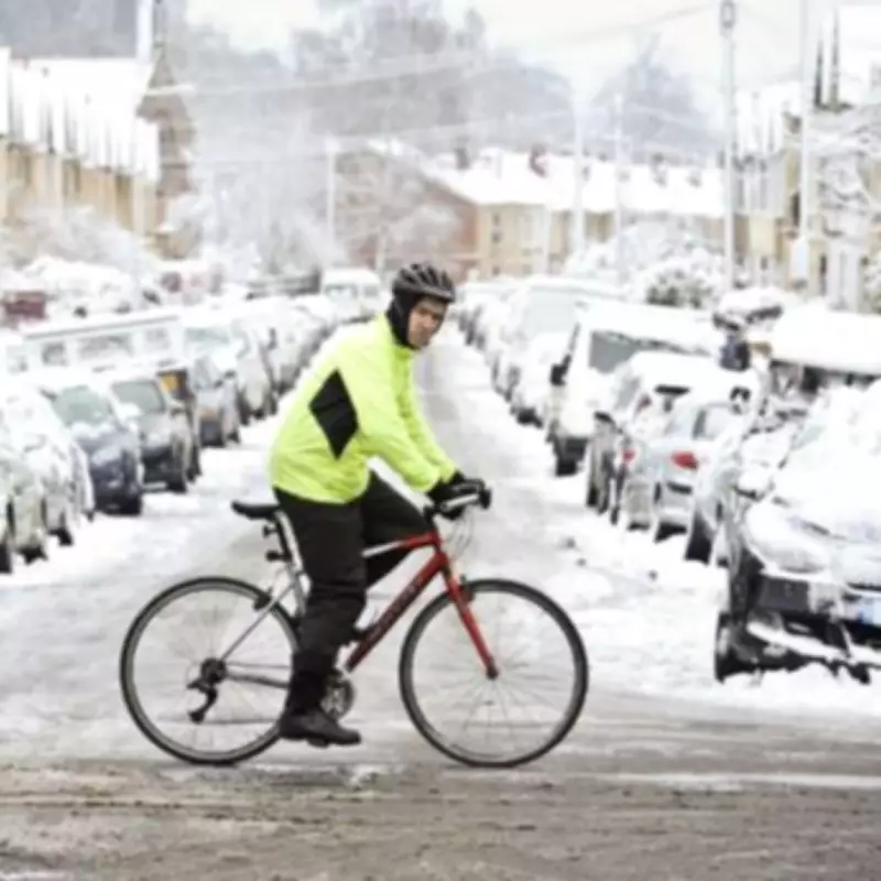
The forecast for Monday, February 2, and Tuesday, February 3, indicates a notable shift towards colder temperatures and potential snow showers. The Met Office has particularly namechecked the north east of England as the region most likely to see flurries, with wintry weather anticipated to hit on Monday evening and persist into Tuesday.
Regions Expected to Avoid Snowfall
According to the Met Office, several areas across the UK are set to escape the forthcoming snow. These include:
- North west England
- West Midlands
- East Midlands
- Greater London
- South west England
- South east England
- South Wales
- North Wales
- Northern Ireland
This five-day outlook suggests that wintry showers are likely from Monday evening, as temperatures plunge nationwide, marking a stark contrast to the relatively mild conditions experienced in recent weeks.
Expert Analysis on Weather Patterns
Netweather TV's meteorologist, Ian Simpson, provided insight into the evolving weather patterns. He noted that a fortnight ago, forecasts indicated a cold east to north-easterly flow could push cold air from Russia towards Britain, potentially bringing significant snowfalls. However, as the event approached, forecast models shifted to show a south-easterly flow, resulting in most areas experiencing "cold rain" rather than snow.
Simpson explained that during the next 5 to 10 days, the Scandinavian blocking high observed for much of the latter half of January is expected to retrogress westwards towards Greenland. This shift could lead to low pressure subsiding to the west of Britain, introducing an east to north-easterly flow. Such conditions might turn cold enough to generate snow showers in eastern Britain, particularly due to cold air masses passing over the relatively warm North Sea, creating instability.
Additionally, snowfalls could occur on the northern and eastern flanks of any frontal systems pushing in from the west and south, further complicating the weather outlook for the coming days.


