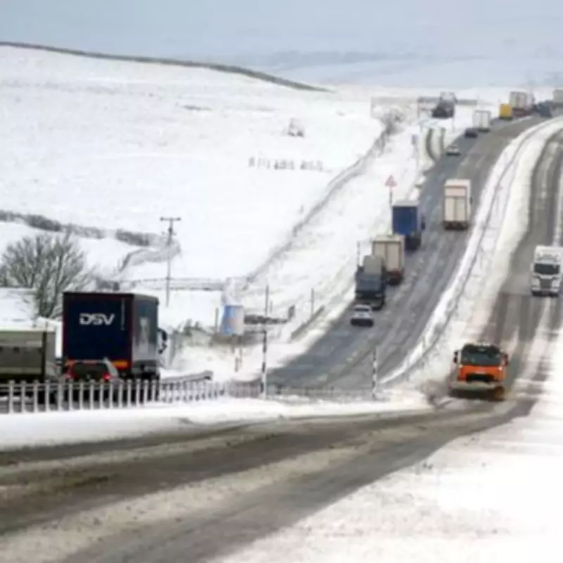
UK Braces for March Snow Blizzards as Temperatures Plummet to Near Freezing
Shocking new weather predictions indicate that parts of the United Kingdom could experience significant snow blizzards in March, with temperatures falling to dangerously low single figures. According to the latest meteorological data, major cities across the nation are directly in the firing line for this unexpected late winter weather event.
Weather Models Predict Widespread Snowfall
The Global Forecast System weather model reveals a powerful storm system sweeping in from the Atlantic Ocean on March 14th. This system is expected to bring substantial precipitation across many regions of the UK. Initially, the precipitation is forecast to fall as snow across southwestern England, Wales, and Northern Ireland before spreading northward throughout the day.
By 9 PM on March 14th, weather maps show significant purple areas indicating heavy snowfall across North Wales, the Midlands region, and northwestern England. Major urban centers including Stoke-on-Trent and Manchester could experience substantial accumulations of the white stuff. The system is then predicted to move into western Scotland by midnight, bringing additional snowfall to those areas.

Temperature Plunge Expected Nationwide
Accompanying the predicted snowfall will be a dramatic temperature drop across the United Kingdom. Meteorological data suggests temperatures could fall to just 2°C or 3°C quite widely, creating near-freezing conditions that will exacerbate the impact of any snowfall. This combination of precipitation and cold temperatures creates ideal conditions for blizzard formation in affected areas.
Official Weather Agency Forecasts
The Met Office has acknowledged the possibility of snow later in March, though their current forecast suggests wintry showers will likely be confined to northern hills initially. Their official forecast for March 13th to 27th states that after a potentially dry start, changeable conditions are expected to resume by mid-March with Atlantic frontal systems spreading across all UK regions.
These weather systems will bring spells of rain and potentially strong winds, with the wettest conditions likely in the northwest and driest conditions in the southeast. The Met Office specifically notes that some hill snow is possible in northern regions, with temperatures expected to be near or slightly above normal overall for the period.
BBC Weather's Cautious Outlook
BBC Weather forecasters have also identified the potential for colder outbreaks in March, though they emphasize it's too early to predict exactly how cold conditions might become. Their forecast for March 9th to 22nd suggests the UK will likely find itself between European high pressure and Atlantic low pressure systems, bringing occasional rain and brisk winds.
The BBC indicates milder than average conditions are expected overall, or at least near seasonal norms. However, they note a slight possibility that high pressure could build at higher latitudes in the second half of March, potentially bringing some chillier outbreaks. Forecasters caution that this remains speculative at present, with no significant early spring cold currently looking likely according to their models.
Residents across the UK are advised to monitor weather forecasts closely as March approaches, particularly those in urban areas that could be affected by the predicted snowfall. Transportation authorities and emergency services are likely preparing for potential disruptions should the predicted blizzard conditions materialize in mid-March.