UK Braces for 600-Mile Snow Bomb with Birmingham Impact Date Confirmed
The United Kingdom is preparing for a significant meteorological event as weather forecasts predict a staggering 600-mile snow storm set to sweep across the entire country. According to the latest data from WX Charts, this Arctic system is scheduled to arrive just before Valentine's Day, making landfall on February 13.
Nationwide Snow Coverage Expected
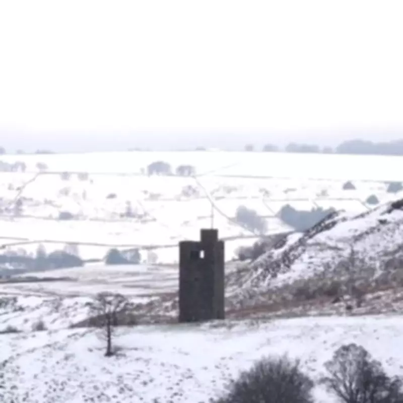
Maps from WX Charts indicate that the wintry shift could trigger snow coverage spanning an impressive 601 miles from north to south, effectively blanketing every inch of the UK. The initial impact will be felt in Northern Ireland, Wales, and the south-west of England before the system progresses eastwards.
The West Midlands conurbation, including the city of Birmingham, is forecast to experience the snowfall on February 14, coinciding with Valentine's Day celebrations. Other major urban areas such as Greater London, Greater Manchester, and Lancashire are also at risk of significant disruption.

Extended Cold Spell Predicted
Weather experts suggest that this snow bomb could linger until February 17 at the earliest, with snow coverage maps for that date showing the entire UK shaded in purple, indicating widespread precipitation. The BBC Weather team has provided additional context for the coming days, noting that Wednesday will see cloudy conditions for most with rain in the south clearing, though sleet and snow are expected in north-east Scotland.
The forecast continues: "A few patches of rain elsewhere. Staying largely dry on Thursday, with a few patches of rain and hill snow in the north-east. Rain in the south on Friday, potentially turning to snow on the high ground."
Longer-Term Weather Patterns
Looking further ahead, meteorological models suggest that unsettled and mostly mild weather will continue into early February, though there will be some chillier shots of air, particularly in the northern United Kingdom. By mid-month, colder conditions should become more widespread across the country, accompanied by some wintry precipitation.
A separate forecast covering January 30 to February 8 explains: "High pressure will build across Scandinavia and extend to the north of the UK. This will cause winds to turn easterly at times and drag some chillier air across, mainly in the second half of the week and particularly into Scotland and far northern England."
Frontal rain bands may slow as they creep northwards, with snow on the leading edges, especially over higher ground. Even if fronts do not make it all the way into Scotland, there will be wintry showers, at least across eastern areas, with a sharp wind chill at times.
Most of the rest of England, Wales and Northern Ireland will stay somewhat milder, with temperatures near average or still a little above in the far south, though the approaching snow system is expected to alter these conditions significantly.