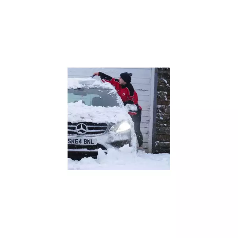
The United Kingdom is preparing for a prolonged period of wintry weather, with forecasts predicting 96 hours of near-continuous snowfall in the first week of January. The significant weather event is set to commence sooner than many might anticipate, bringing a frosty start to the New Year.
Snow Timeline and Affected Regions
According to meteorological maps from WX Charts, which utilise Met Desk data, the first flurries are scheduled to arrive at 12am on Saturday, January 3. The initial impact will be felt across Scotland and along the North East coast of England.
From this point, the snow is expected to persist across various parts of the country, only beginning to relent around 12am on Wednesday, January 7. This marks a full four-day period of disruptive wintry conditions, likely affecting travel and daily routines.
BBC Weather's January Outlook
The broader picture for January suggests a shift from the recent dry, cold spell. The BBC Weather team indicates that the New Year period will turn more unsettled, with wintry precipitation expected in many areas.
A brief milder interlude is possible during the second week of the month, but this is likely to be temporary. Colder air is predicted to return thereafter. The forecast for the latter half of January remains uncertain, with models showing a wide range of possibilities.
The period from Monday, January 12 to Sunday, January 25 is summarised as "Chilly for a time then possibly milder later." The BBC notes that high pressure will linger near the UK, but its precise position will be critical. The most probable scenario involves temperatures hovering around or just below the January average.
Immediate Forecast and Wind Chill
In the shorter term, high pressure centred over Scotland this weekend will drift towards Iceland early next week. This will maintain mostly dry but cold conditions for several days.
Residents in southern England should brace for a notable wind chill factor, driven by brisk easterly to north-easterly winds. Northern areas will experience lighter winds, though these will gradually turn more northerly, reinforcing the cold snap. The northwest of the UK could see wetter periods, with further snow likely over the Highlands.
As the nation recovers from the festive season, this impending 96-hour snow event serves as a sharp reminder that winter is far from over. The public is advised to stay updated with the latest forecasts and travel advice as the New Year begins on a distinctly frosty note.


