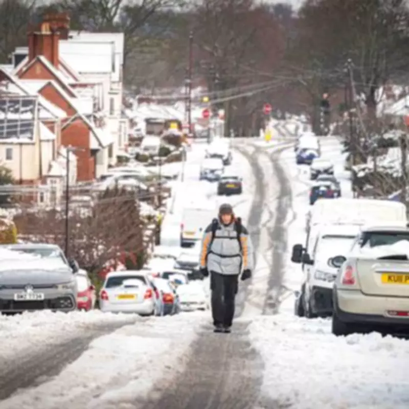
Weather Maps Predict Exact Date for Snow to Blanket Birmingham
The so-called 'Beast from the East' is set to arrive next week, bringing a fresh wave of wintry conditions to the region. Birmingham could once again find itself covered in snow, just weeks after the city was previously blanketed.
Detailed Snowfall Predictions and Temperature Drops
New weather maps from WXCharts show temperatures are expected to plummet to as low as -13 degrees Celsius starting from Saturday, March 7. From 9am on that day, the prospect of snow is indicated south of London and in the north east of England.
Manchester is anticipated to experience flurries by midday, with conditions then spreading across to the West Midlands and parts of the West Country. By 9pm, snowfall is predicted to intensify across the north west, falling heaviest over Manchester and Stoke-on-Trent.

Blizzard Conditions and Regional Impact
By midnight on Saturday, the blizzard is headed towards parts of London, though it will be most severe across the west and east Midlands. This could lead to significant disruptions and hazardous travel conditions for residents in Birmingham and surrounding areas.
BBC and Met Office Forecasts for Early March
The BBC forecast for March 2 to 15 states: "Although confidence is even lower than usual for this period, there are some signs of high pressure building near the UK, leading to somewhat drier conditions, with precipitation amounts near or below average."
"However, the position of this potential high will have a notable influence on both precipitation and wind. It will most likely linger near the UK through the first week of March, bringing relatively dry conditions, along with a risk of frost and fog."
"Daytime temperatures should be at least near seasonal for most areas, and potentially above average, although some chillier conditions are possible across Scotland."
"There is a small chance that high pressure could develop at higher latitudes, which would bring a risk of a colder week, though strong cold anomalies would not be expected. Wintry showers would then become more likely."
The Met Office adds: "Winds will probably be strong at times, with a risk of gales. Temperatures are likely to be near to or slightly above average."
Residents are advised to stay updated with the latest weather warnings and prepare for potential snow accumulation and icy conditions. The exact timing and intensity of the snowfall may vary, but current models suggest a significant weather event is on the horizon for Birmingham and the wider Midlands region.