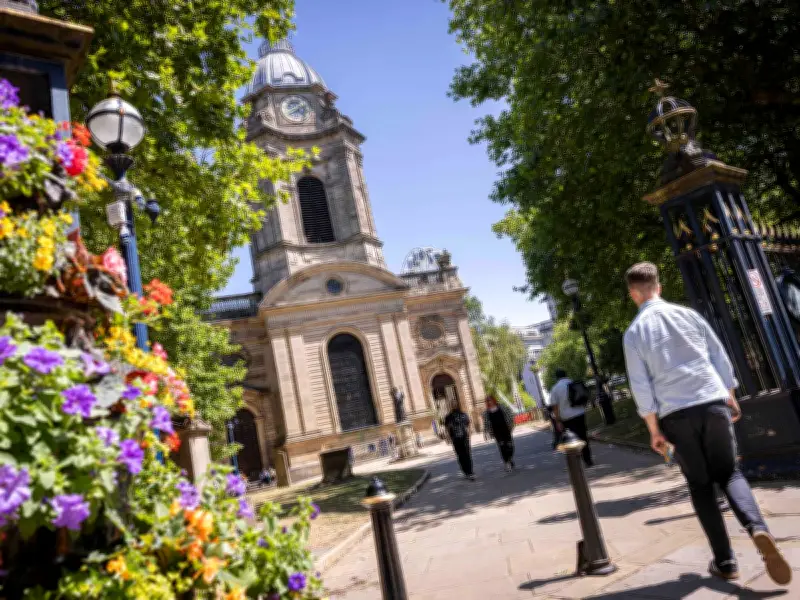
The Met Office has delivered its verdict for Birmingham amid reports of potential 30C temperatures. Following a recent heatwave, the city has experienced lower temperatures, rain, and overcast skies. However, forecasters now predict a shift towards warmer conditions.
Current Weather and Short-Term Forecast
Next week will continue with a mix of dry, overcast weather and showers. For Monday, the Met Office states: "A few early showers possible in the south, but a drier and brighter start elsewhere. Clouding over through the morning with showery outbreaks of rain possible through the afternoon. Maximum temperature 21 °C."
The outlook for Tuesday to Thursday adds: "Spells of rain possible at times over the next few days, but some drier, brighter and warmer intervals in between. Breezy at times and temperatures around the seasonal average."

Long-Term Outlook: Potential Heatwave
Between Thursday, June 18, and Saturday, June 27, temperatures could finally rise significantly. Some outlets are reporting highs of 30C, but official confirmation from the Met Office and other weather authorities is still pending.
The Met Office says: "The first few days of this period are likely to see something of a northwest-southeast split in the weather across the UK. Areas towards the north and west are most likely to often be cloudier, with spells of rain, some of which could be heavy and accompanied by breezy conditions. Further southeast, a greater chance of drier conditions, although given the potential for high temperatures and high humidity, there is the possibility of some thunderstorms breaking out as well."
Towards late June, there is a signal for more widely settled conditions to develop with high pressure more likely to dominate, with temperatures probably remaining above average for most.