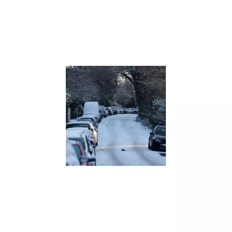
A significant winter weather event, described as a 'snow bomb', is set to hit the United Kingdom next week, bringing with it the risk of two rare and hazardous meteorological phenomena. Forecast maps indicate widespread snowfall is expected to return on Wednesday, January 28, turning large parts of the country white.
Rare Weather Phenomena Triggered by Snow Bomb
According to data from WX Charts, which utilises Met Desk information, the incoming snow will create the specific conditions needed for freezing rain and ice pellets. These are uncommon and potentially dangerous occurrences in the UK. Forecasting agencies warn that the combination of heavy snow and these phenomena could lead to treacherous travel conditions and significant disruption.
Weather maps for January 28 show shades of orange, representing freezing rain, initially appearing over northern Scotland. This band of freezing rain is then predicted to move to the east and west of Scotland throughout the day. Subsequently, a patch of this hazardous precipitation is forecast to develop over Yorkshire the following night.
What Are Ice Pellets and Freezing Rain?
The Met Office provides detailed explanations for these unusual events. Ice pellets form when snowflakes begin to melt as they fall from a cloud, then pass through a layer of sub-freezing air where they re-freeze into small, grain-like particles. In some cases, the snow only partially melts, resulting in a snow core encased in a thin layer of ice.
"Ice pellets are generally smaller than hailstones and bounce when they hit the ground," states the Met Office. "Showers of ice pellets tend to be quite short-lived, but can still accumulate on the ground in a similar way to snow though forming a smaller, denser covering." Maps indicate a green area for ice pellets in northern Scotland on the morning of January 28, expanding across central Scotland by midday before dissipating that night.
Freezing rain is an even rarer type of liquid precipitation in the UK. It occurs when rain droplets strike a cold surface and freeze almost instantly upon impact.
"The conditions needed for freezing rain are quite specific and we don’t see this phenomenon very often in the UK," the forecasting body explains. "It can produce striking effects, as the rain drop spreads out momentarily across the surface before it freezes, encasing the surface in a layer of clear ice." This clear ice glaze is particularly dangerous for roads, pavements, and power lines.
Short-Term Forecast Leading to the Event
In the immediate lead-up to this major snow event, the UK's weather will remain unsettled. The BBC Weather forecast for the weekend of January 17 and 18 predicts overcast conditions on Sunday with outbreaks of rain pushing northwards, which will be heavy at times.
Monday is expected to be cloudy with light rain for many areas, although south-eastern regions may see some sharp showers. The pattern becomes increasingly windy on Tuesday, with a band of heavy rain moving into western parts of the country, setting the stage for the dramatic temperature drop and winter precipitation to follow.


