The United Kingdom is on alert for a significant winter weather event, with forecast maps indicating a potential 25cm snowstorm could sweep across the country in the first week of the New Year.
Arctic Blast Set to Hit After New Year's Day
According to data from WX Charts, which utilises Met Desk information, the cold snap will intensify after the Christmas period. Temperatures are projected to plunge below 0°C across most of the UK by Tuesday, 6 January, with many areas experiencing readings around -2°C.
The first signs of settled snow could appear in parts of northern England and Scotland from New Year's Day itself. However, the major disruptive event is currently charted for Friday, 9 January. On this date, heavy snowfall is predicted to blanket vast swathes of the nation.

Heavy Snowfall Rates and Widespread Coverage
The forecast models show particularly intense flurries hitting central and southern regions of England. Areas including Somerset, Gloucestershire, Hampshire, Greater Manchester, Lancashire, Staffordshire, and the West Midlands conurbation around Birmingham could experience snow falling at a rate of 10mm per hour.
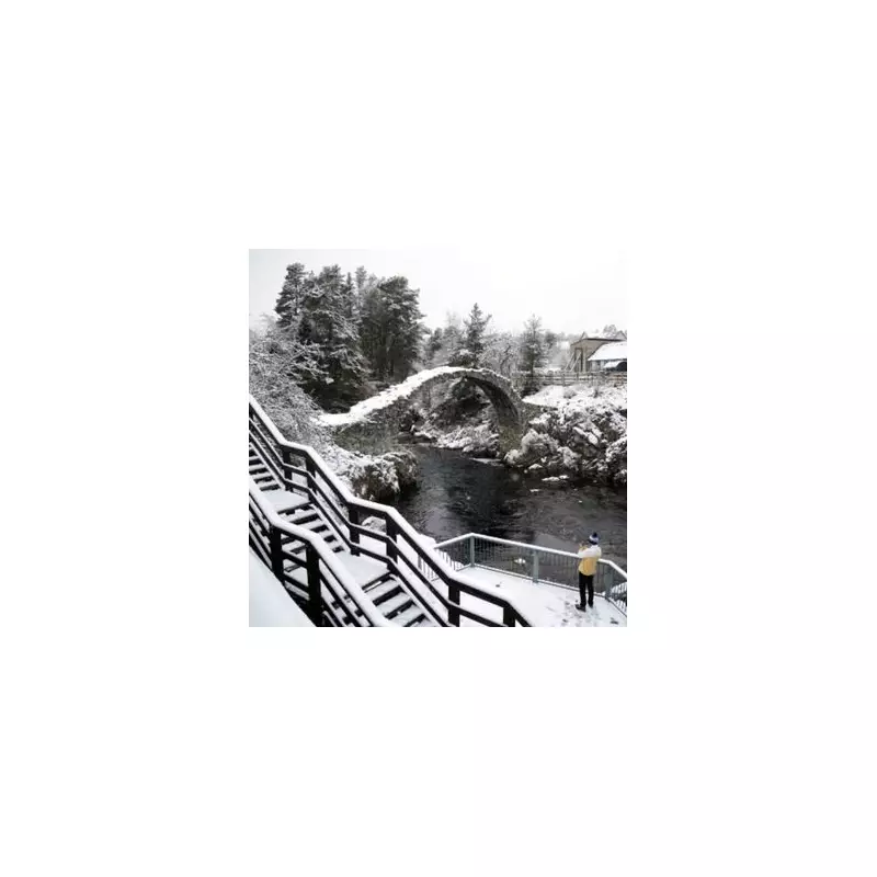
This intense snowfall is not confined to the north. Maps suggest it could extend as far south as Bristol and London, while in the north, cities like Newcastle, Blackpool, and Manchester are also in line for heavy accumulation. In Scotland, snow depth could reach 13cm.
By Monday, 5 January, a continuous blanket of snow is projected to cover a staggering 600-mile radius, from Folkestone in Kent all the way north to Dunbeath in Caithness, Northern Scotland.
Met Office Outlook and Travel Disruption Warning
The Met Office's own forecast for the coming days aligns with a turn to colder conditions. Their outlook states: "Largely dry, turning colder in the New Year... Feeling chilly. Skies clearing for most tonight, allowing temperatures to fall away. A cold night with a widespread frost."
Their summary for the rest of the week adds: "Turning colder in the New Year with wintry showers and icy patches." This official guidance underscores the risk of travel disruption, hazardous icy roads, and potential impacts on public services as the Arctic air takes hold.
Residents across the UK, particularly in the highlighted regions, are advised to monitor the latest weather updates and prepare for potentially difficult travel conditions in early January.