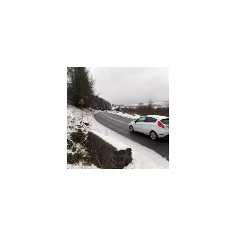
The United Kingdom is preparing for a significant wintry blast, with forecasters predicting a 12-hour snow storm to hit in early January. Advanced weather modelling indicates a prolonged period of snowfall that could disrupt travel and daily life across several regions.
Snow Bomb Set to Strike After Christmas
According to data from WX Charts, which utilises information from the Met Desk, a substantial band of wintry weather is expected to spread across the country following the festive period. The advanced modelling, using the ECMWF HRES system, has earmarked January 5th as the primary date for this disruptive event.
The Met Desk warns that snow could begin to fall from 6pm on January 4th, continuing through the night and remaining visible on weather charts until at least 6am on January 5th. The snowfall is projected to finally melt away from midday on the 5th, resulting in a full 12 hours of wintry precipitation.

Counties at Risk of January Snowfall
Forecast maps highlight eleven counties in England that are particularly at risk of seeing snow flurries during this cold spell. Residents in the following areas should stay alert for updates:
- Durham
- Northumberland
- Greater Manchester
- Lancashire
- Cumbria
- West Yorkshire
- Cheshire
- Staffordshire
- East Riding of Yorkshire
- North Yorkshire
- South Yorkshire
Broader Forecast for the New Year Period
The Met Office outlook for the period beginning January 6th suggests high pressure will likely settle close to the UK, bringing largely dry and settled conditions, especially in southern regions. However, temperatures are expected to be close to or slightly below average, with the north most likely to see any rainfall.
Netweather forecaster Terry Scholey provided further detail, noting that an easterly or north-easterly airflow will persist, keeping conditions mainly dry with occasional light showers, primarily in the east. He stated that while Christmas Day and Boxing Day are likely to be the coldest days, any showers are expected to turn wintry mainly over hills, making a widespread white Christmas unlikely for most.
"Frost will be more widespread however, and patchy freezing fog may form in places too," Scholey added. Looking towards the New Year, he indicated winds may shift to a more northerly direction, drawing air off the relatively mild North Sea and making conditions slightly less cold, though still mainly dry.
As the country enjoys the festive season, authorities are urging the public to monitor forecasts closely and prepare for potential travel disruption as the new year begins with a notable wintry punch.