The Met Office has announced the first significant wintry weather of the season is on its way to the United Kingdom, with meteorologists forecasting potential snow for some regions as early as next week.
Which Parts of the UK Will See Snow?
According to Met Office meteorologist Simon Partridge, any snowfall looks set to be confined to northern areas, with Scotland being the most likely region to experience the first flakes. He confirmed that England, Wales, and Northern Ireland are expected to be spared from the snow for now.
However, Partridge did highlight the "certainly is the potential" for colder air to sweep across the northern parts of the UK. This shift in air mass is the primary driver behind the snow prediction for the coming week.

Detailed Met Office Forecast for the UK
The national weather service has provided a more detailed outlook for the end of November and beyond. While they note that weather patterns remain highly uncertain for late November, there is a greater chance of high-pressure systems developing.
This would bring drier conditions compared to the current unsettled pattern, but it also increases the risk of overnight fog and frost. The forecast also indicates that spells of rain, showers, and stronger winds are still probable, particularly in western areas.
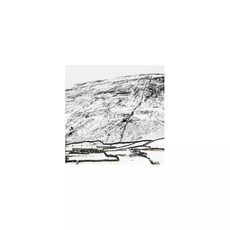
Hill snow is also a possibility, mainly in the north, according to the official forecast. Temperatures are expected to be near or slightly above average for the time of year, though some colder spells remain possible, especially if any prolonged settled weather develops.
The Weekend Weather Outlook
Looking at the immediate forecast, Saturday will see a band of rain moving across northern England and Scotland, with low cloud affecting the Northern Isles. Elsewhere, after morning fog clears, it will be a day of sunny spells with a few showers likely in the southwest.
Overnight, cloud, rain, and strengthening winds will arrive into western areas, keeping temperatures mild. In the east, away from Shetland, it will be a night of clear spells, fog patches, and a patchy grass frost.
For Sunday, rain is expected to continue in the west, turning locally heavy over hills. Many eastern areas are likely to remain dry with increasingly hazy sunshine after any early fog lifts. Temperatures will be near the seasonal average.
The outlook for Monday to Wednesday suggests a changeable and unsettled period with heavy showers and spells of rain. It will often be cloudy, though some sunny spells will break through on occasion. The period will turn milder but with blustery winds at times.