
The United Kingdom is preparing for a significant wintry blast, with forecasters predicting snow will fall for over 30 hours and affect multiple regions across the country.
Weekend Weather Warnings Issued
The Met Office has activated a series of yellow weather alerts for rain, highlighting a period of disruptive weather ahead. The first warning covers London, the South-east, the Midlands, the South-west, and Wales, and remains in effect until midnight on Saturday. A second alert for South Wales and South-west England begins at midnight on Sunday, November 30, and lasts until 3pm on Monday. A third warning for all of Southern England will be active from 8am on Monday, December 1, until 6am on Tuesday, December 2.
Snow and Icy Temperatures to Grip the Nation
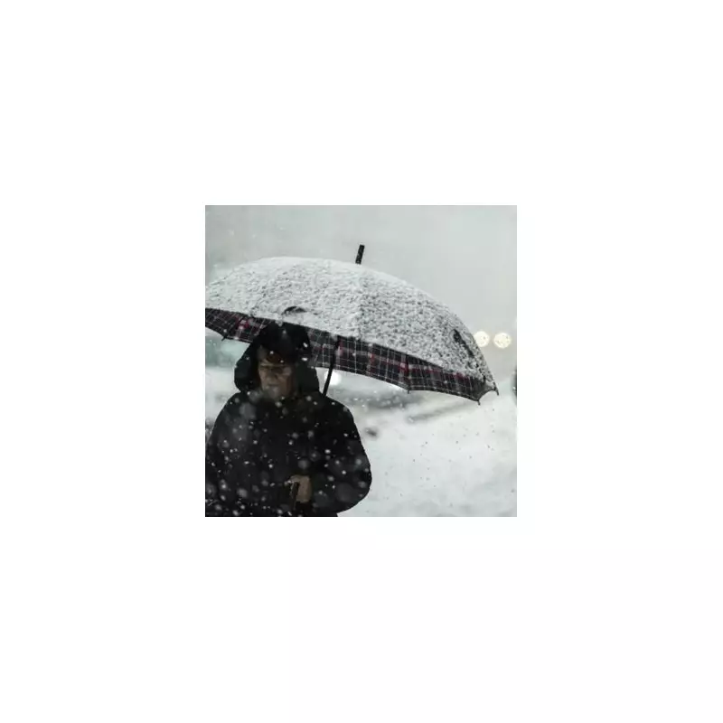
New data from WXCharts indicates that this rain will be accompanied by icy conditions, bringing significant snowfall to high ground. Snow is forecast to start falling from 6pm on Saturday, affecting not only Scotland but also areas like Manchester, Stoke-on-Trent, and Yorkshire. While it may not settle in these English regions, North-west Scotland is expected to see accumulating snow, with flakes continuing to fall until midnight on Sunday.

Temperature charts for Sunday, November 30, reveal a widespread icy blast. The Highlands could see lows of -6C (21.2F), while parts of North-West England, including Lancashire and Cumbria, may drop to a frigid -2C.
Expert Analysis and Long-Range Forecast
BBC Weather's Simon King provided insight into the developing system, stating, "On Saturday a developing weather system will sweep across England and Wales bringing heavy rain and the possibility of strengthening winds." He noted uncertainties in the track but highlighted that heavy rain is likely in eastern England, accompanied by strong northeasterly winds with gusts of 50-60mph.
King added that the northerly airflow will usher in colder conditions for Sunday, with maximum temperatures only reaching 3-9C. He confirmed, "In Scotland the temperature for some may not rise above freezing - called a 'frost day'. There will also be some wintry showers coming into the north and east of Scotland."
The Met Office's long-range forecast from Tuesday, December 2, to Thursday, December 11, suggests changeable and often unsettled conditions will dominate. Low pressure systems will bring showers or longer spells of rain for much of the UK. The forecast states, "The greatest chance of snow will probably be over northern high ground," and warns of potential strong winds and overnight frosts where clearer conditions develop.


