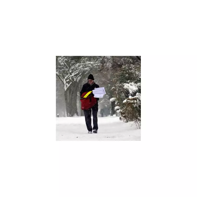
The United Kingdom is on alert for a potential 10-day 'snow bomb' as meteorologists warn conditions are aligning for a possible return of the infamous Beast from the East. The prolonged cold spell could begin as early as next week, bringing the country to a standstill reminiscent of the disruptive 2018 event.
Meteorologists Issue Stark Warning
Senior meteorologist Jim Dale of British Weather Services has outlined a concerning forecast. He indicated that if the severe weather pattern, dubbed a 'Beast', materialises, it is likely to commence from January 21. While a milder scenario might only last a couple of days, a full-blown event could see snow infiltration persist well into early February.
"If it's a proper Beast, where we start to get the infiltration of snow, it could well last into the early part of February without a question," Dale stated. "It wouldn't be that unusual to go a week, a week-and-a-half with that kind of scenario."
What is the Beast from the East?
The Beast from the East is a colloquial term for a severe cold wave triggered by a specific meteorological clash. It occurs when frigid air masses from Siberia, Russia, collide with warmer, moist air arriving from the Atlantic Ocean. This collision causes temperatures to plummet rapidly and leads to widespread icy conditions and significant snowfall.
The last major event in 2018 had devastating consequences, causing massive disruption across the UK and resulting in over a dozen deaths in the first few months of that year.
Short-Term Forecast and Outlook
Before any potential 'Beast' arrives, the UK is set for a period of changeable weather. The Met Office forecast for Thursday, January 15, predicts outbreaks of rain, sometimes heavy, moving across central, southern, and eastern England and eastern Wales, with strong winds in places.
Other areas will see sunshine and scattered showers, which could be locally wintry in the north. Overnight frost and fog are also expected.
Looking ahead to Friday, January 16, early frost and fog will clear to leave a day of sunshine and showers. These will be heaviest in the west and southwest, with a risk of hail and thunder.
The outlook for Saturday to Monday, January 17-19, suggests a continuation of changeable conditions. The forecast indicates a mix of bright spells and showery rain, with further overnight frost and patches of fog, which may be locally freezing and slow to clear.
Residents across the UK are advised to monitor the latest weather warnings from the Met Office and prepare for the possibility of severe winter weather disrupting travel and daily life from late January onwards.


