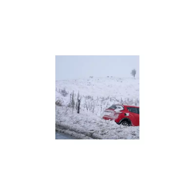
Britain is preparing for a major wintry blast, with forecasters predicting up to 15 centimetres of snow will blanket parts of the country next week. New weather modelling indicates that Birmingham and the entire West Midlands region are in the direct path of the disruptive snowfall.
Snow Maps Predict Widespread Disruption
According to detailed maps and charts from WX Charts, which utilises Met Desk data, vast swathes of the UK will be under a layer of snow by the early hours of Sunday, January 11. The snowy conditions are expected to begin building from Tuesday, January 6, intensifying as the week progresses.
By Friday, January 9, most areas north of Birmingham are forecast to have settled snow on the ground. The capital is also not immune, with London potentially seeing significant accumulation. Models suggest snow could fall at a rate of around 1cm per hour from midday on the Friday. By January 11, almost the entire nation will either have snow lying or falling, with Bristol highlighted as a potential exception.

Met Office Outlook for Early January
The Met Office's own forecast for the period starting January 6 provides context for the incoming system. It states that while the recent cold northerly winds will ease mid-week, new weather fronts are poised to move in from the Atlantic.
"As these encounter the cold air entrenched over the UK, some further snowfall is possible, particularly in central and eastern areas, with rain more likely in the west," the forecast explains. It notes that from next weekend, the picture becomes more uncertain, but spells of snow remain possible, especially in northern and central regions.
An Uncertain Month Ahead
Looking further ahead into January, the Met Office emphasises a lack of a dominant weather pattern, leading to changeable conditions. The public should be prepared for a mix of milder, wet, and windy spells interspersed with colder, drier periods featuring frost and fog.
While the chance of snow and ice is deemed lower later in the month compared to the first week, the forecaster cautions that the risk remains, particularly for central and northern parts of the UK. Residents are advised to stay updated with the latest local forecasts and travel advice as the week develops.